If you've been searching for the best source of information and stimulating discussion related to Spring/Summer/Fall backpacking, hiking and camping in the Sierra Nevada...look no further!
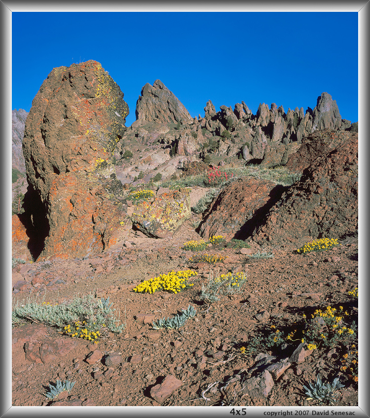
Here is a scanned Provia 100F 4x5 image of the nearby Eagle Ridge area I took in late June 2007, titled "The Bent Pinnacle". Mehrten Formation volcanic geology from lahar mud flows.
Several times have hiked cross country to there from SR4 at the 7840 foot elevation parking area including a few times at night with headlamp that is somewhat "spooky". That saves over 3 miles versus starting at Ebbetts Pass.
Have climbed all over that weird stuff including the Reynold's Peak area in Russ's image and that rock is tricky to climb on with lots of small ball bearing type rubble atop the surface. Besides all the weird pinnacles, there are many spectacular Sierra juniper, rock with intensely colorful lichen, and in early summer lots of volcanic geology wildflowers like mule ears. Although PCT hikers pass by, we've never seen anyone else camp there or found tenting spots because 1) no lake 2) no fishing.
.... rock, which I wish one of our geology professors- Bill or John, would explain for us"
From what I can see, they are volcanic tuffs. More detailed names would depend on the size of the ejected material that makes them up. For examples, see: http://www.sandatlas.org/tuff/" sekihiker
Great , thanks Professor Bill, that "sandatlas" site is a nice find. "tuff rocks" indeed.
sekihiker wrote:I've never hiked in a volcanic terrain. It sure has a different vibe. Thanks for the great photos, guys.
I agree about the volcanic terrain, it is very different especially while scrambling about with your hands. Nice post Harlen, I really enjoy that area as well.
The geology of this area is complex in part because you have a few million years of volcanic eruptions and their deposits all over-lapping. I mapped the geology in this area in 1979 when the USGS was doing the geology of the 15 minute Markleeville quad, followed up by the mineral resource assessment of the entire area prior to it having wilderness designation. But more recently a group from UC Santa Barbara had some graduate students doing more detailed thesis mapping in the area. The Silver-Highland Pk. complex for example is the guts of an old dissected stratovolcano, like Mt. Rainier. If anyone is really interested they can PM me and I can direct them or maybe send them the related research publications.