TR 4/8-9 Middle Fork Trail to Hamilton Lakes
Posted: Wed Apr 11, 2018 2:09 pm
I just got back from an early spring adventure in the Sierra!
Day 1: Middle Fork Trailhead to Mile 72 on the Kaweah
(14 miles, +6,000/-3,000 feet).
Day 2: Kaweah Mile 72 to Hamilton Lake to Middle Fork Trailhead
(19 miles, +5,000/-8,000 feet).
Full TR:
https://jimmyjamhikingclub.wordpress.co ... ork-trail/
https://jimmyjamhikingclub.wordpress.co ... lton-lake/
Brief overview:
I wanted to hike the Middle Fork Trail to Redwood Meadow Grove, but I did not feel confident crossing Granite Creek solo. So instead I hiked off trail up the south side of the Middle Fork of the Kaweah to about mile 72. Snow patches started around 6200 feet and were not an issue on Day 1. Moro, Mehrten, and Panther creek crossings were manageable, and there are bridges at Buck Canyon and the Middle Fork of the Kaweah.
On Day 2 I headed cross country straight for the falls where the High Sierra Trail (HST) crosses the Middle Fork Kaweah. The willows were brutal! I've never done that before, and my shins are still complaining....
I couldn't figure out how to ascend on the south (right) side, so I sought (and found) a crossing about 50 feet below the falls and then battled more willows and scrambled up mostly class 2 ledges and ramps on the north side of the Middle Fork up to the HST.
Crossing the falls on the HST was easy and then snow patches started getting longer until there was full snow coverage above 7800 feet. Lower Hamilton Lake is open but lake 8235 is still frozen over. The traverse between the lakes had a couple of sketchy spots where crampons would be essential in icy conditions, but it was warm for me so kick-stepping and plunge-stepping in my trail runners was sufficient (though I donned the crampons on the trip back down after experiencing the icy sections on the way up).
I hiked the HST back to Bearpaw Meadow then descended through Little Bearpaw Meadow back to the Middle Fork Trail and back to my car.
No mosquitoes yet but the gnats were thirsty on the way out!
It was a really quick trip but I really liked the challenge. I don’t think I would plan to bushwhack through willows again, but I’m really happy I tried it (though my battered shins aren’t!). At least now I know what it’s like if I ever find myself in a situation where it’s necessary I’ll be able to do it. And it was a real confidence builder to be able to routefind my way up to the HST, do some class 3 moves, and use my snow equipment to traverse steep slopes, all while traveling solo and trying to minimize risk.
Here are some photos:
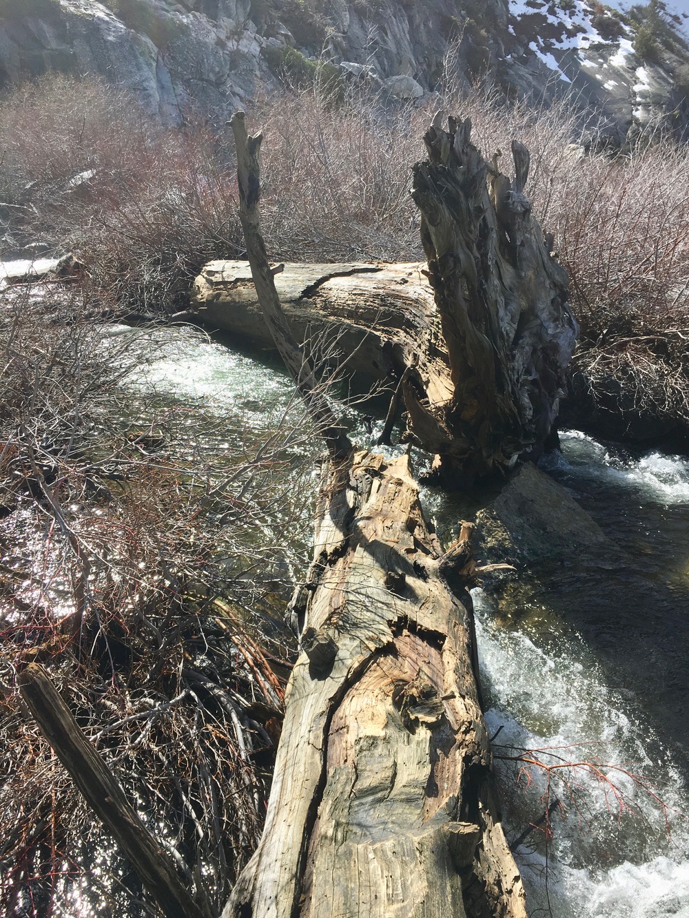
Granite Creek ford on the Middle Fork Trail:
Final push through the willows to get to the falls on the HST. I crossed the Kaweah between the lower and upper falls and then followed ramps and ledges to get up to the HST:
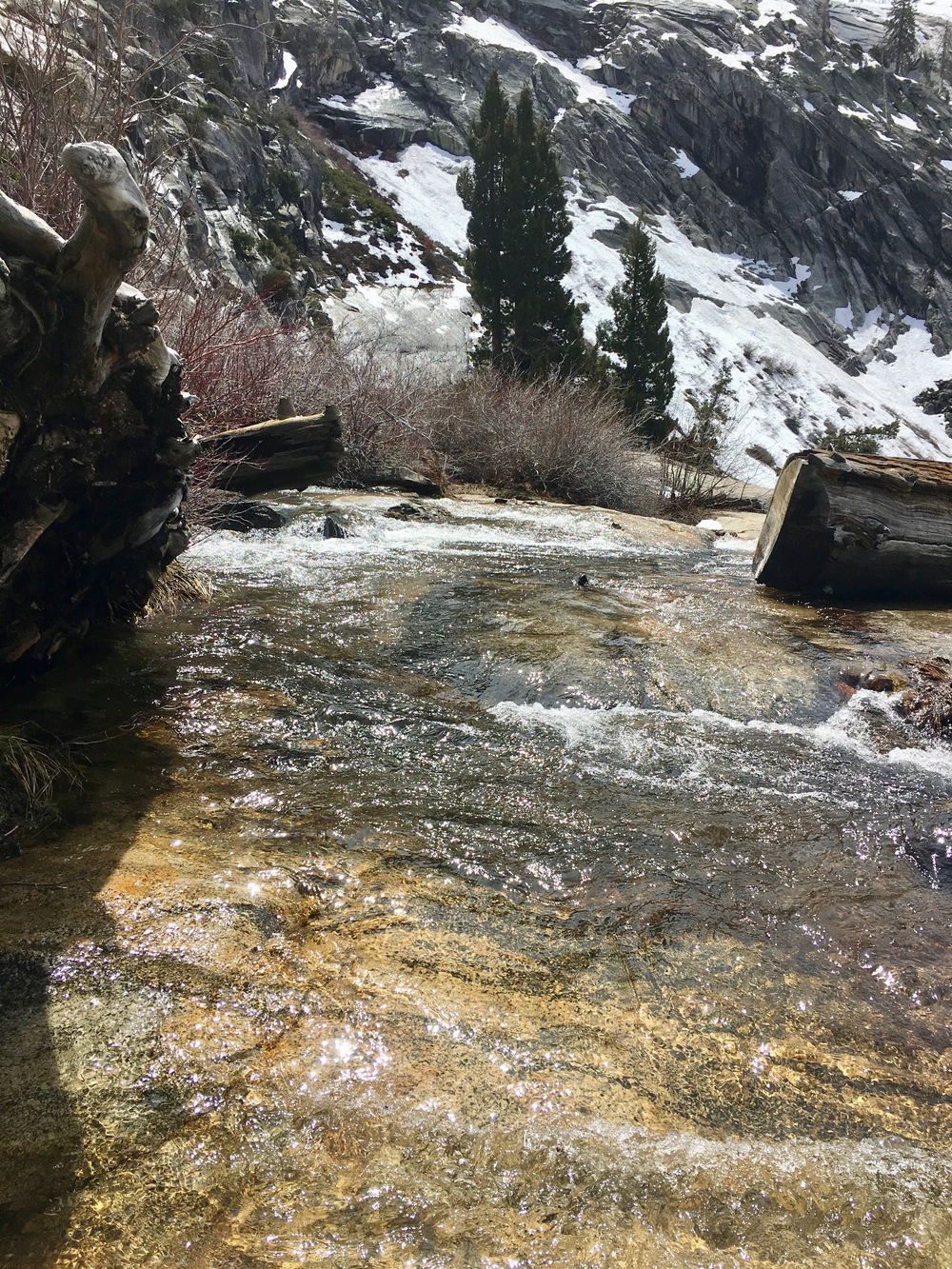
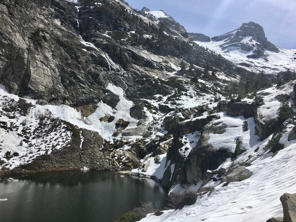
The inlet of lower Hamilton Lake:
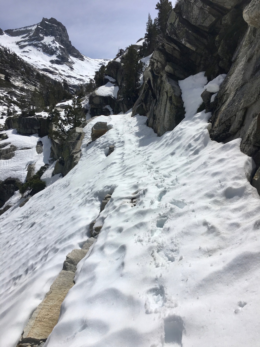
The traverse up to Hamilton Lake 8235:
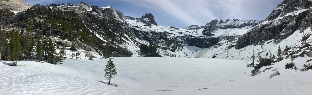
Full Hamilton Lake 8235 panorama:
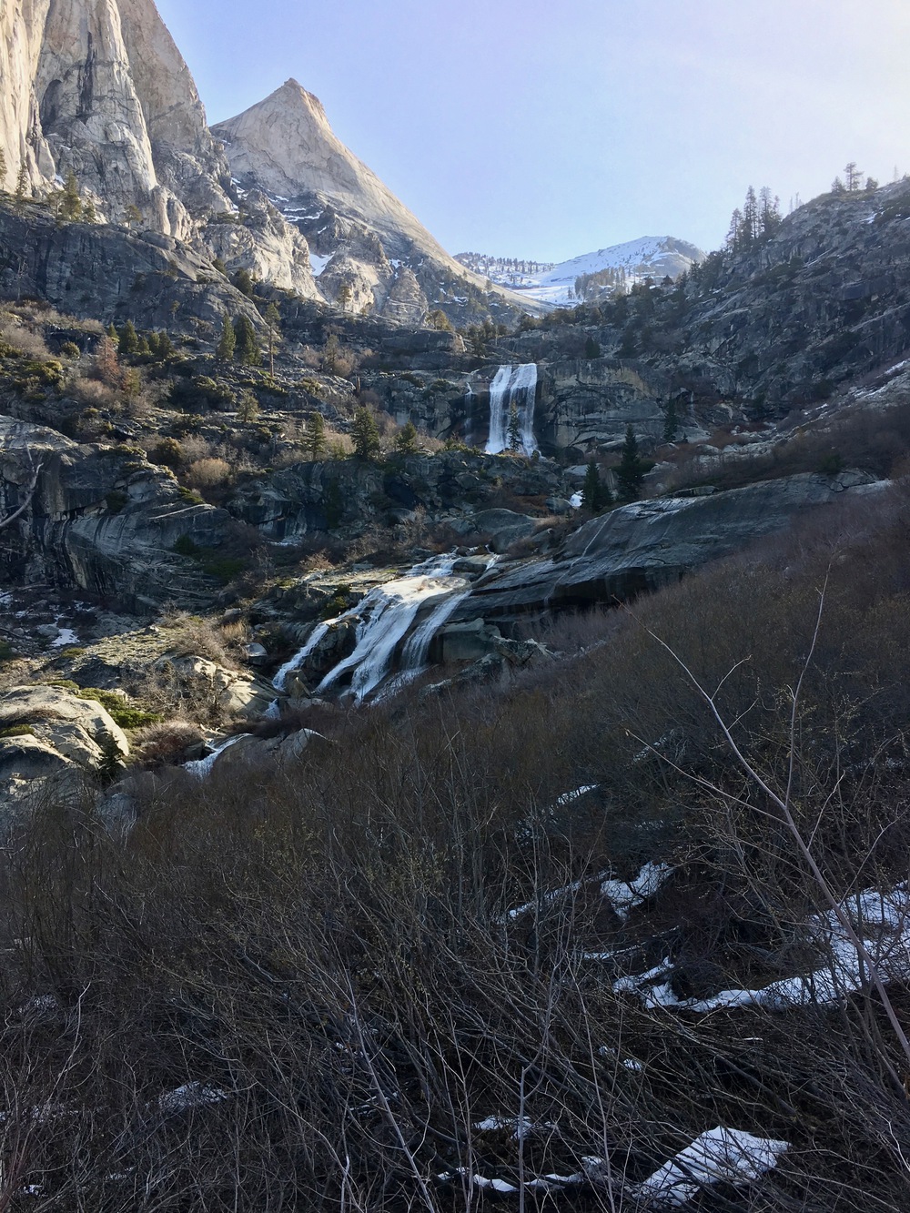
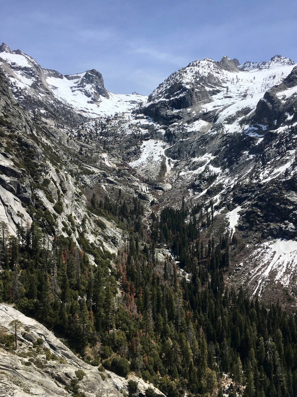
Last view of the falls from the HST:
Day 1: Middle Fork Trailhead to Mile 72 on the Kaweah
(14 miles, +6,000/-3,000 feet).
Day 2: Kaweah Mile 72 to Hamilton Lake to Middle Fork Trailhead
(19 miles, +5,000/-8,000 feet).
Full TR:
https://jimmyjamhikingclub.wordpress.co ... ork-trail/
https://jimmyjamhikingclub.wordpress.co ... lton-lake/
Brief overview:
I wanted to hike the Middle Fork Trail to Redwood Meadow Grove, but I did not feel confident crossing Granite Creek solo. So instead I hiked off trail up the south side of the Middle Fork of the Kaweah to about mile 72. Snow patches started around 6200 feet and were not an issue on Day 1. Moro, Mehrten, and Panther creek crossings were manageable, and there are bridges at Buck Canyon and the Middle Fork of the Kaweah.
On Day 2 I headed cross country straight for the falls where the High Sierra Trail (HST) crosses the Middle Fork Kaweah. The willows were brutal! I've never done that before, and my shins are still complaining....
I couldn't figure out how to ascend on the south (right) side, so I sought (and found) a crossing about 50 feet below the falls and then battled more willows and scrambled up mostly class 2 ledges and ramps on the north side of the Middle Fork up to the HST.
Crossing the falls on the HST was easy and then snow patches started getting longer until there was full snow coverage above 7800 feet. Lower Hamilton Lake is open but lake 8235 is still frozen over. The traverse between the lakes had a couple of sketchy spots where crampons would be essential in icy conditions, but it was warm for me so kick-stepping and plunge-stepping in my trail runners was sufficient (though I donned the crampons on the trip back down after experiencing the icy sections on the way up).
I hiked the HST back to Bearpaw Meadow then descended through Little Bearpaw Meadow back to the Middle Fork Trail and back to my car.
No mosquitoes yet but the gnats were thirsty on the way out!
It was a really quick trip but I really liked the challenge. I don’t think I would plan to bushwhack through willows again, but I’m really happy I tried it (though my battered shins aren’t!). At least now I know what it’s like if I ever find myself in a situation where it’s necessary I’ll be able to do it. And it was a real confidence builder to be able to routefind my way up to the HST, do some class 3 moves, and use my snow equipment to traverse steep slopes, all while traveling solo and trying to minimize risk.
Here are some photos:
Granite Creek ford on the Middle Fork Trail:
Final push through the willows to get to the falls on the HST. I crossed the Kaweah between the lower and upper falls and then followed ramps and ledges to get up to the HST:
The inlet of lower Hamilton Lake:
The traverse up to Hamilton Lake 8235:
Full Hamilton Lake 8235 panorama:
Last view of the falls from the HST: