This past weekend, M and I did Mount Gould and Independence Peak out of Onion Valley campgrounds.
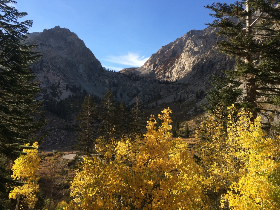
For Independence, we started off on the steep Robinson Lake Trail out of Onion Valley’s campsite #8. The aspen were just glowing. It's a short hike, only about 4 miles round trip, but the sand slog will be very very slow. Little bit of class 3 at the end.
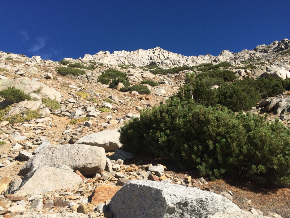
We left the trail and began the sand slog around a mile in at an inconspicuous spot. However, once you start walking up, you’ll see that there are lots of use-trails. Very soon, we were out of the trees and faced with this little field of talus.
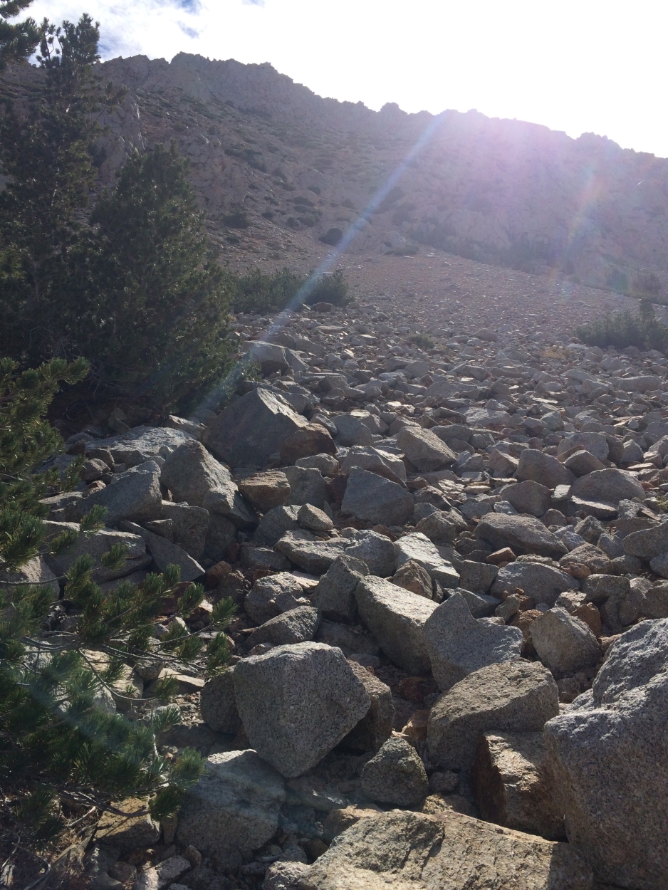
The talus ended too quickly and we began a very slow and sandy slog. Everything is loose, so be careful not to bash your partner with a flying rock. M stayed right and I stayed left. Pretty soon I gave up staying left, and joined M on the right where the rocks were a tiny bit more sturdy.
Eventually we were greeted by this view:
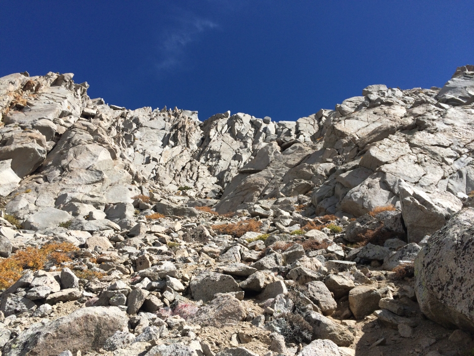
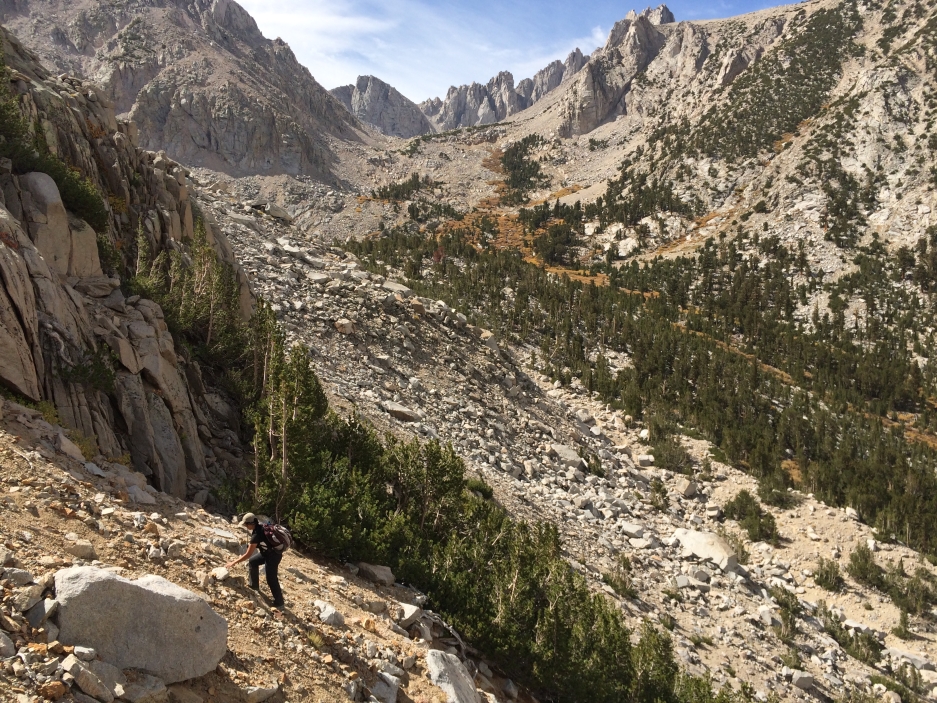
The boulders on the right of this little 'cirque' will lead you up to the ridge. Follow use-trails down from the ridge a bit and then go back up the class 3 summit block from the back side.
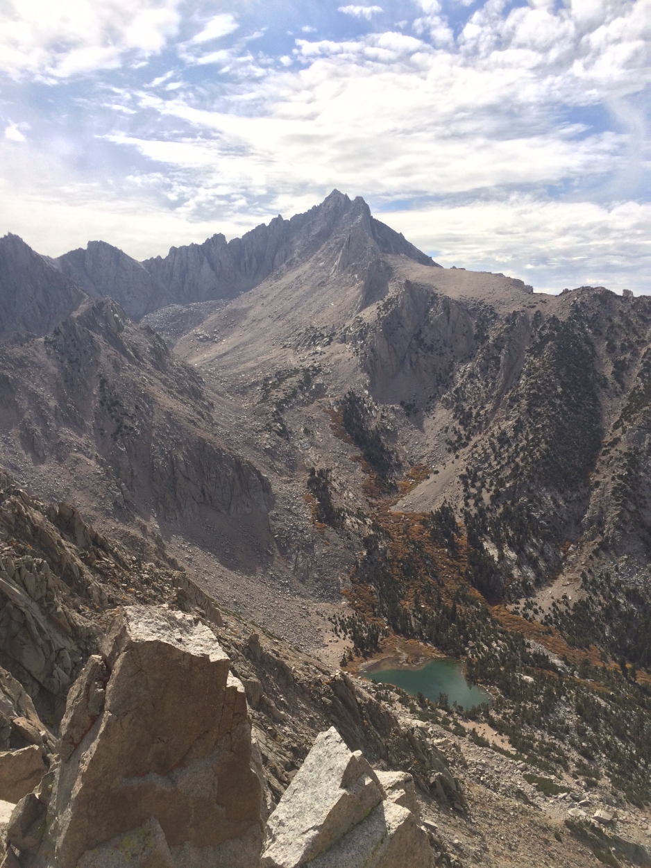
View of University Peak and Robinson Lake from the summit:
Independence Peak 9/28/15
- peaksandpotatoes
- Topix Acquainted
- Posts: 64
- Joined: Wed Oct 15, 2014 10:28 am
- Experience: N/A
- Location: Oakland, CA
- Contact:
Independence Peak 9/28/15
http://peaksandpotatoes.wordpress.com/" onclick="window.open(this.href);return false;
- giantbrookie
- Founding Member & Forums Moderator
- Posts: 3582
- Joined: Wed Dec 28, 2005 10:22 am
- Experience: N/A
- Location: Fresno
- Contact:
Re: Independence Peak 9/28/15
Nice report and photos (including the little splash of fall color). I really like the University Peak photo. You also did a vastly better job of route finding than I did when I climbed this peak 43 years ago. Back then we didn't have much info to go on other than the existing guidebook that stated there were class 3 options toward the top. I ended up aiming way too far north and having to finish the thing from north of the summit. This led to a physically easy but airy traverse on this little ledge for which I asked for and got a belay from my dad. The descent went more smoothly along route similar to the one you picked out.
Since my fishing (etc.) website is still down, you can be distracted by geology stuff at: http://www.fresnostate.edu/csm/ees/facu ... ayshi.html" onclick="window.open(this.href);return false;
- peaksandpotatoes
- Topix Acquainted
- Posts: 64
- Joined: Wed Oct 15, 2014 10:28 am
- Experience: N/A
- Location: Oakland, CA
- Contact:
Re: Independence Peak 9/28/15
Yes, I've heard of people going up from the north and climbing some class 4 (and 5?) to get there. I heard it minimizes the sand slog. Yes, us newbie peakbaggers are so spoiled! GPS tracks, online reports... all of that. I think it sort of clouds the spirit of the endeavor sometimes.
http://peaksandpotatoes.wordpress.com/" onclick="window.open(this.href);return false;
Who is online
Users browsing this forum: No registered users and 37 guests