A few weeks ago some friends and I went to Albuquerque, New Mexico for the International Balloon Fiesta. During the fiesta hundreds of hot air balloons ascend over Albuquerque and it is quite a site. One morning when were not attending the Fiesta, we decided to hike the La Luz Trail and check out the balloons from above. La Luz is one of the more well-known trails in New Mexico. It starts from the base of the Sandia Mountains just outside Albuquerque and climbs 8 miles and 3,800 feet up to the top of the Sandia Mountains (at 10,300 feet). From the top, you can either hike back down or ride the Sandia Peak Tramway back down the mountain ($15 per person one way). We chose to take the tram to save some energy and time.
The hike is pretty strenuous due to the altitude and the climb so be prepared with lots of water. However, the views are great and you hike through different types of foliage as you go up in elevation. Doing the hike during the Balloon Fiesta was really neat because we could see lots of balloon in the distance! Here is a more detailed trip report I wrote that has more pictures, maps, and descriptions:
https://backpackersreview.wordpress.com ... luz-trail/
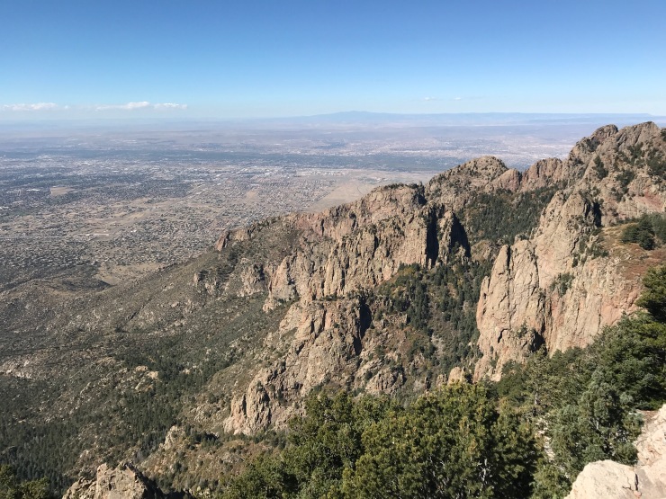
View of Albuquerque from atop the Sandia Mountains

Lots of balloons rise up from the city
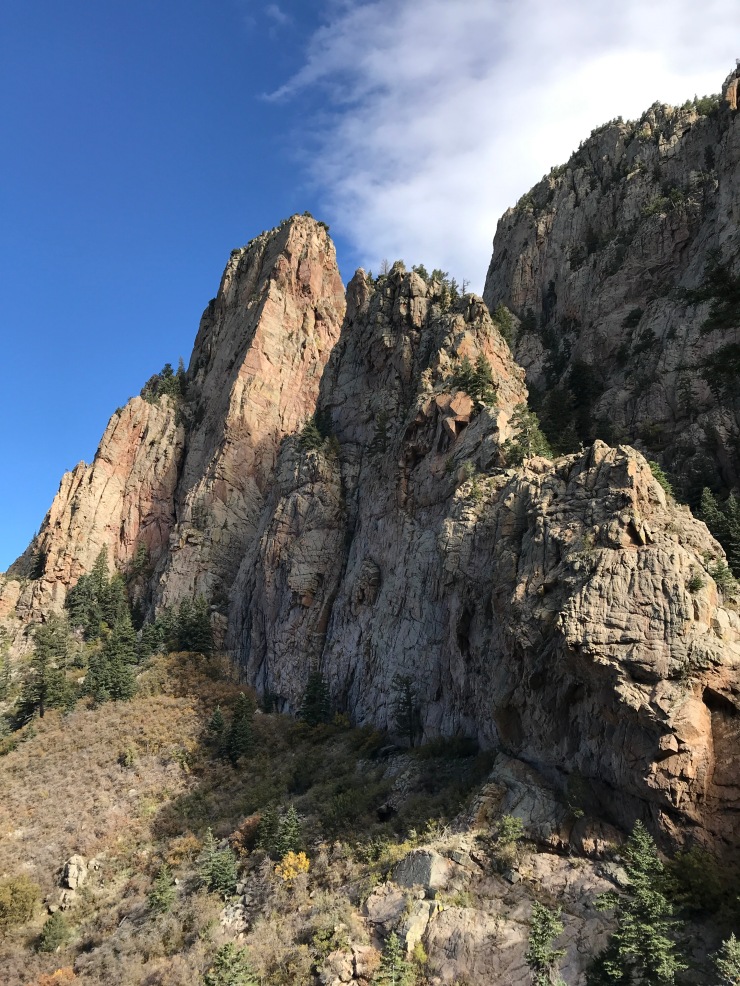
The trail meanders between some large cliffs
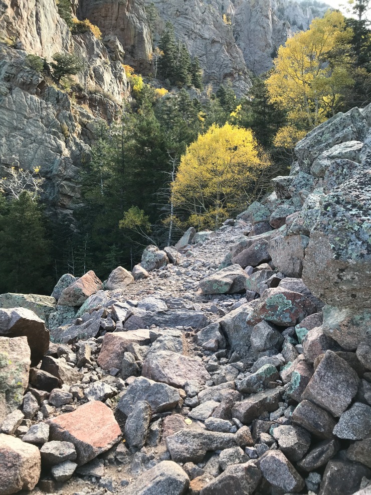
The aspen trees were bright yellow
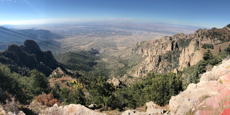
The view from the observation deck where the tram lets off


