
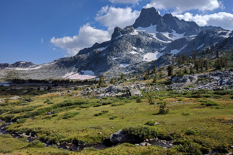
Leaving Agnew Meadows after sunrise, I took the River Trail up to the lake. I've never liked descending this trail because it gets hot, but it was quite pleasant in the morning. And it is barely uphill at all.
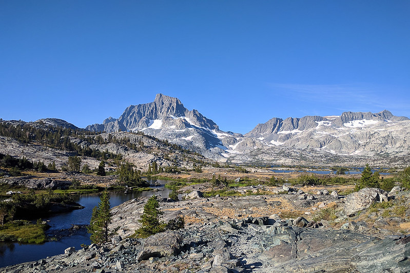
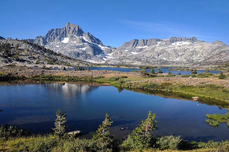
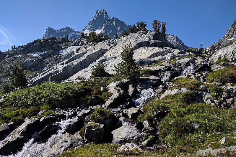
Of course I started taking photos as soon as I reached the lake.

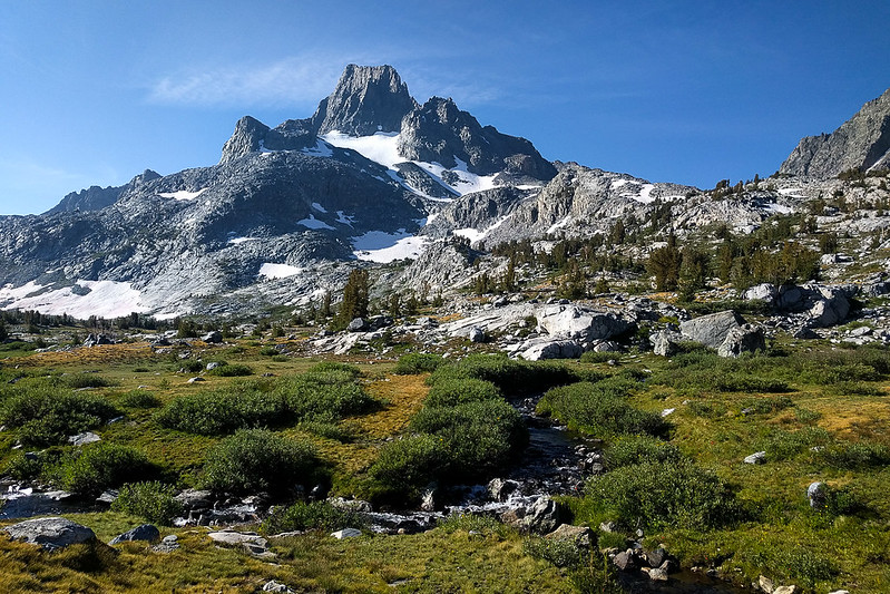
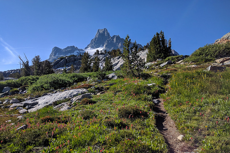
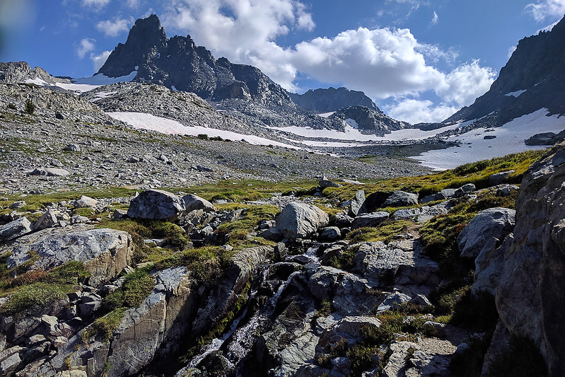
After taking the trail along the north side of the lake, I cut up and found a trail headed toward Glacier Pass.
Here's Glacier Pass. (The snowfield isn't steep. From its top, there is still a little farther to go, over rocks.) It was very windy here.
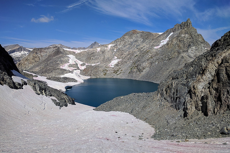
Lake Catherine and Ritter from Glacier Pass. I walked around the lake to the left, staying at roughly the level of the pass. There's an easy path over rocks to get past the snowfield dropping into the lake. Then I dropped over the ridge to the glacier.

The glacier was not very impressive. I had an ice axe and put on crampons, but trekking poles with microspikes would have been fine. Possibly one could stay on the talus to the N side of the glacier, but that would have been slower. The glacier ascent was very fast. Looking down:
Here's Ritter from above the saddle.

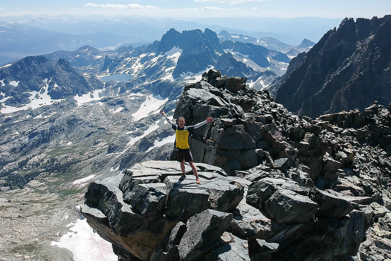
I first went up to some rocks just north (left) of the summit. They have a better view, unobstructed, of 1000 Island Lake. Here's a panorama. The summit is toward the right, in front of Ritter.
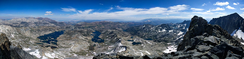
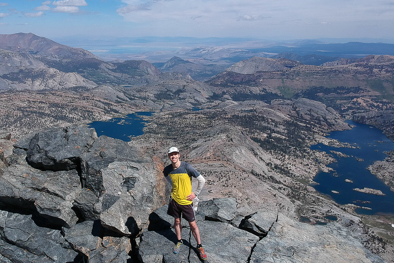
The weather at the summit was perfect. A little chilly but very little wind, and no worries of thunderstorms. Views from the summit: 1000 Island, Garnet Lake, etc., and looking west. There was smoke on the horizon to the north.


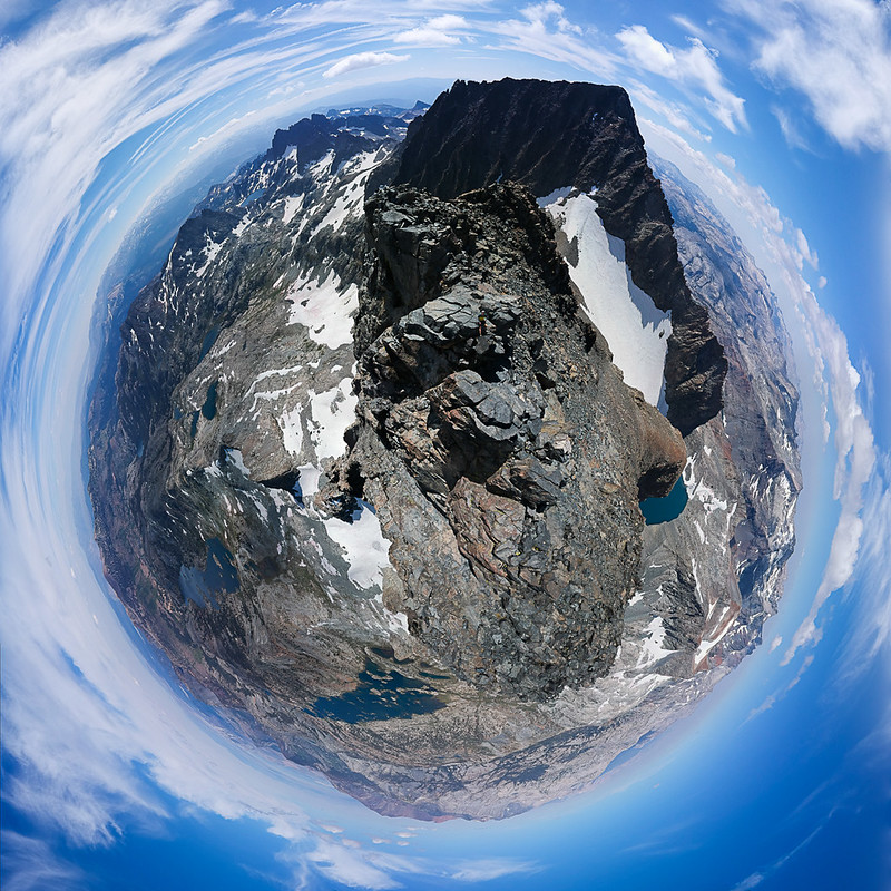
I shot a 360 panorama from the summit. Interactive view (recommended): https://kuula.co/post/7lvcR
Summit selfies:
Headed back to Agnew, although the afternoon light shadowed Banner, I couldn't resist taking more photos.
Good hike!
