tlsharb wrote: ↑Fri May 15, 2020 6:35 pm
Where would you get a look at the original route? I'd love t see it.
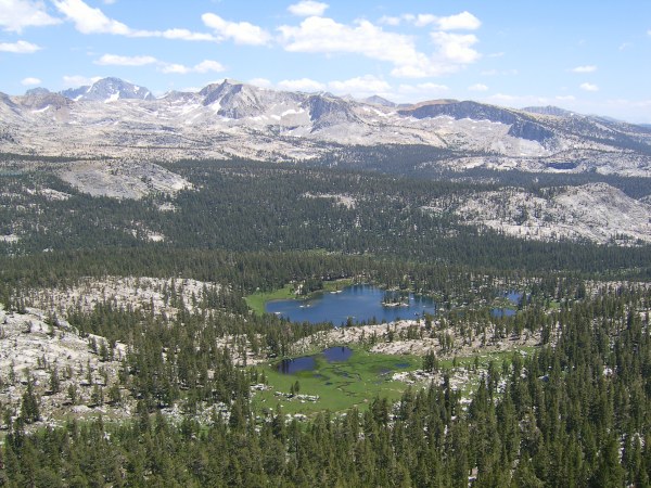
On the old Mount Goddard 30 minute quad of 1912, Hell for Pass trail reaches Goddard Canyon floor directly east of Red Mountain at an elevation of 9,400 feet in about 1.7 miles. The new trail reaches the canyon floor almost two miles south of there and at an elevation of about 9,900 feet in about 3.7 miles.
Old trail 11,279ft - 9,400ft / 1.7 miles = 1879ft/1.7mile = 1,105 ft/mile
New trail 11,279ft - 9,900ft / 3.7 miles = 1379ft/3.7miles = 373 ft/mile
Elevations and distances calculated on the 1999 version of TOPO!
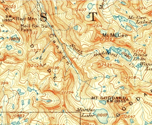
By the way, the switchbacks start on the west side of the pass at 10,560 and reach the pass in 0.62 miles.
West side trail 11,279ft - 10,560ft/ 0.62 miles = 719 ft/0.62mile = 1,160 ft/mile
The calculations for the east side don't take into account that most of the new trail on the east side is fairly flat.
Here is the calculation for the steepness for the east side trail before it turns south on the long, easy, new section of trail.
11,279ft - 10,144ft/ 1.2 miles = 1,135ft/ 1.2 miles = 946ft/mile
So the steepest part of the east side trail is actually easier than the steepest part of the west side trail.
Go figure.