Member descriptions, photos, and map locations of Cross Country Passes in the High Sierra. This forum is for information only - discussions should be kept in the appropriate categories. This forum is a component of the HST Map. We need your help to complete the database, so please contribute!
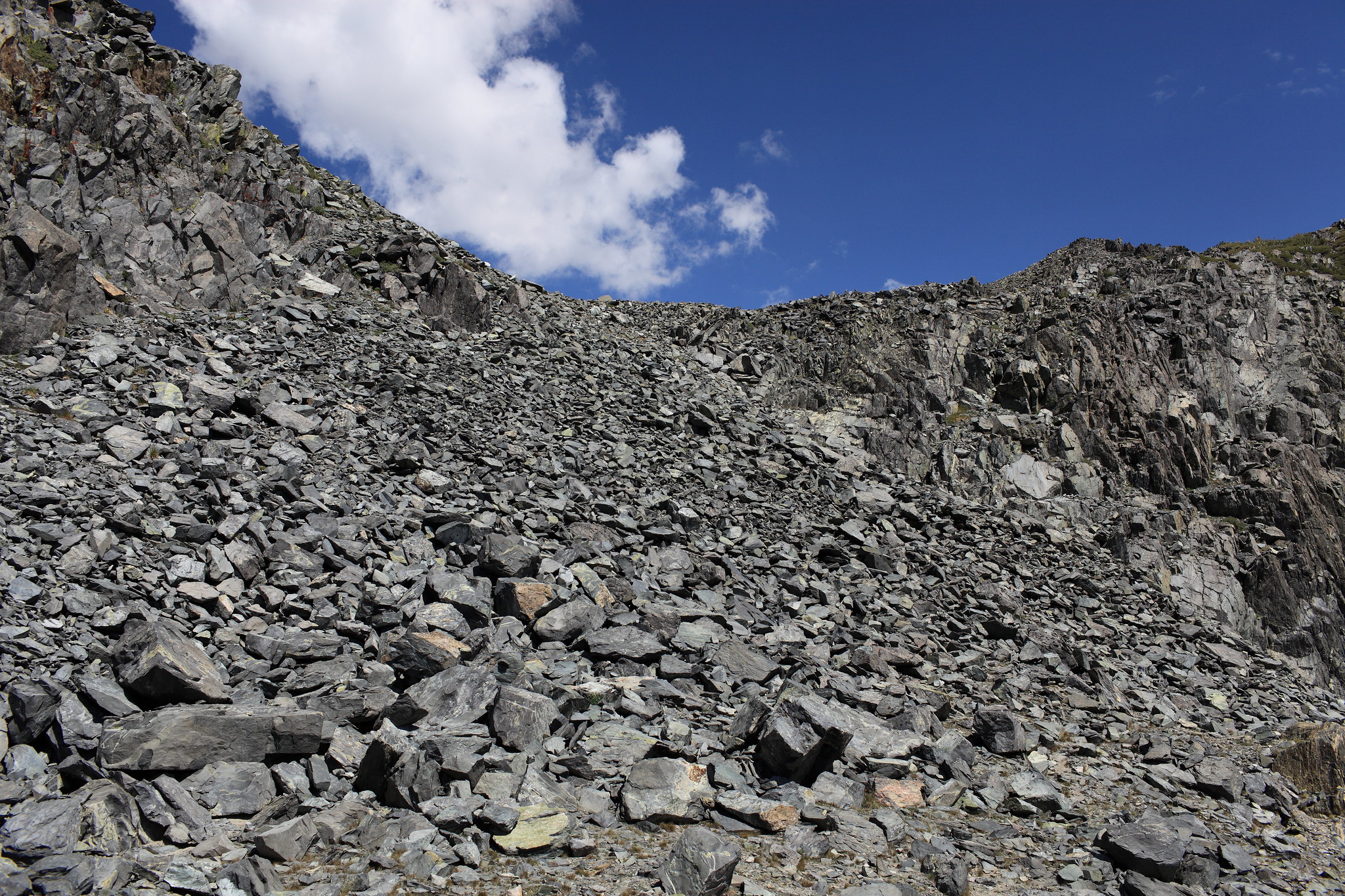
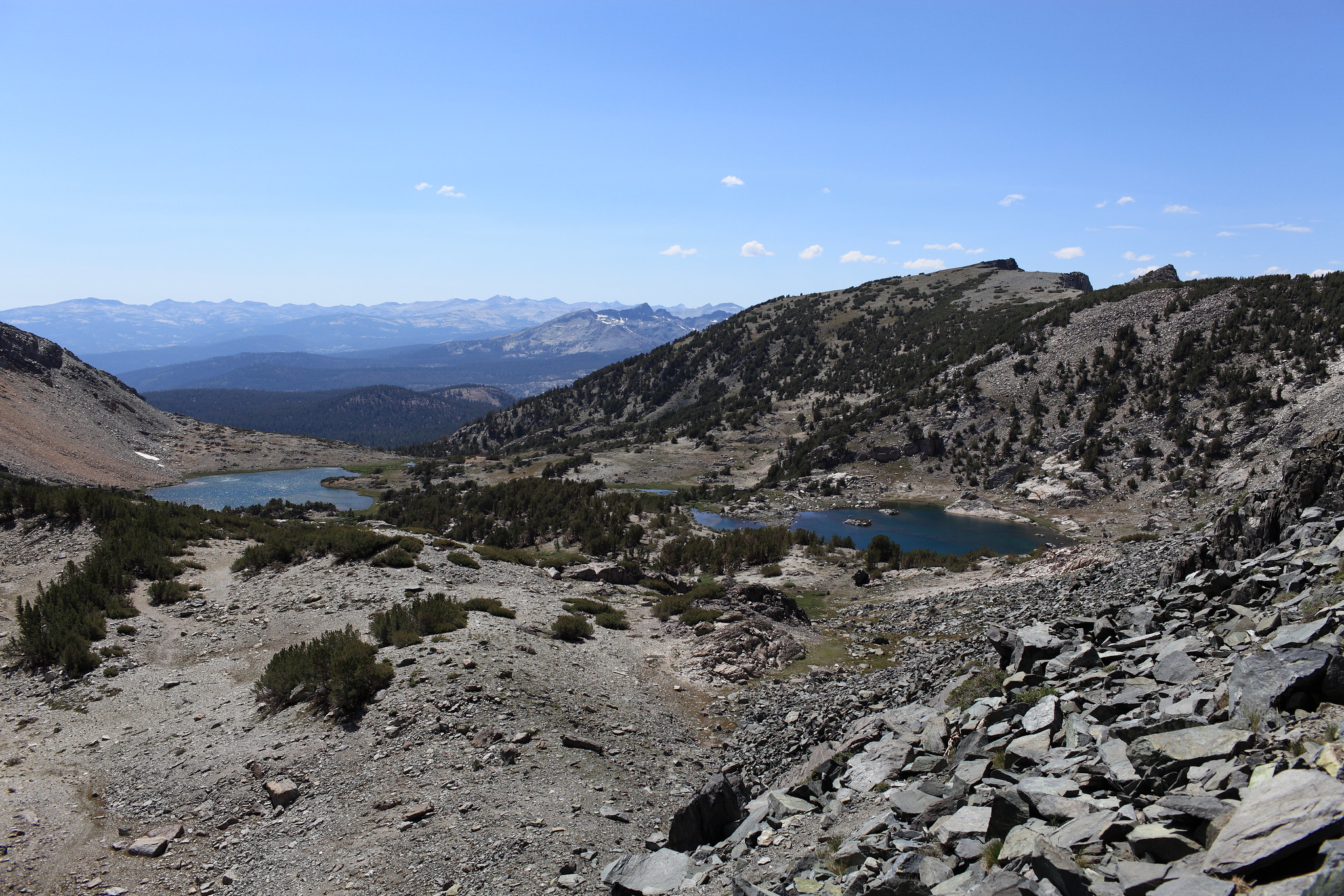
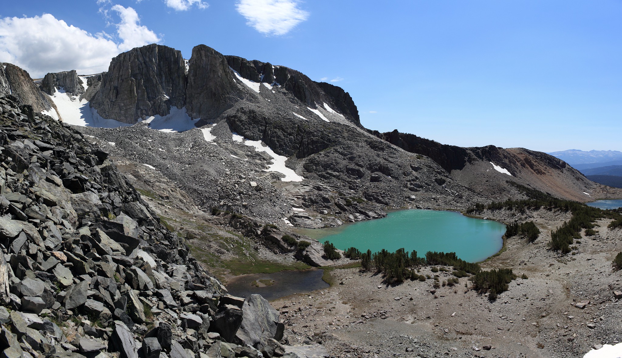
ROUTE DESCRIPTION: If following the Mammoth Crest Trail the trail will become extremely indistinct after passing the middle lake of the Deer Lakes. Continue up easy slopes until nearing the pass itself. Most maps show a trail going to the right up and over a hump 400 feet higher. Ignore this flaw and aim for the obvious low saddle. You will climb a talus slope with a few bits of a use trail until the terrain radically changes into easy class 1 terrain. Continue along this gaining a bit more altitude until you cross the final low saddle and begin down the pass on more class 1 terrain. Although a use trail can be followed off of the pass it fades away before long.
I found a fair trail down the talus in 2010, easier found if going south-to-north. I recall the trail peters out as it nears Deer Lakes. If found, there is very little actual talus hopping. Class 2 is such a wide difficulty range - this pass is definitely on the easy end.
There isn't much of a trail, as I recall, from Deer Lakes, as you say WD. From the lakes, I remember following a faint trail for a while. We angled west a bit to the base of the pass and then saw the good use trail up.