
Full trip report is here:
https://jimmyjamhikingclub.com/2023/09/ ... -shoulder/
https://jimmyjamhikingclub.com/2023/09/ ... an-canyon/
https://jimmyjamhikingclub.com/2023/09/ ... nche-pass/
https://jimmyjamhikingclub.com/2023/09/ ... -of-being/
But here are some highlights:
Day 1, the climb to Silliman Lake was wet and a little buggy (mosquito level 2). I was surprised at how well-defined the use trail up to Silliman Meadow was.
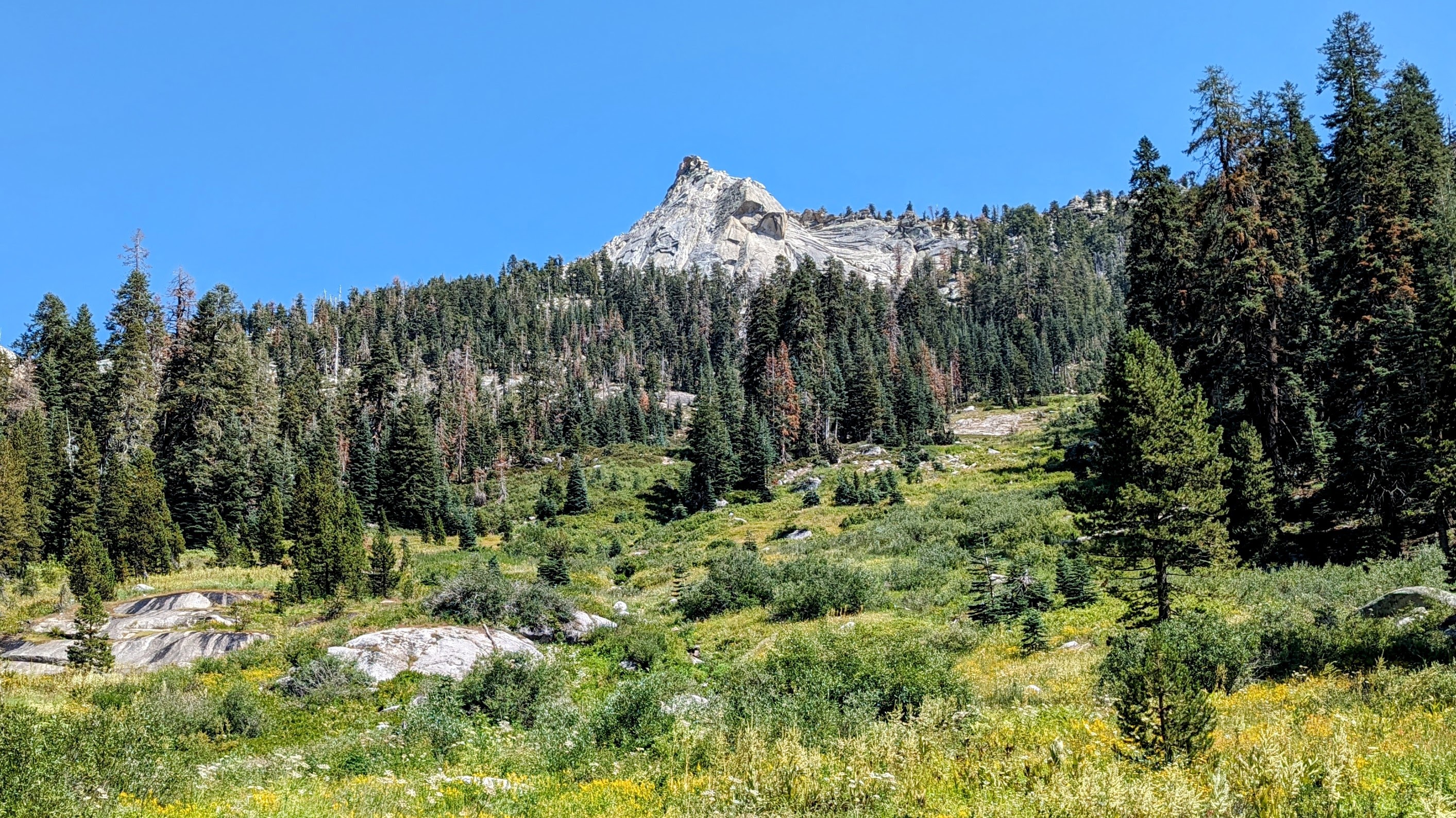
Silliman Meadow
And I enjoyed climbing the slabs after that.
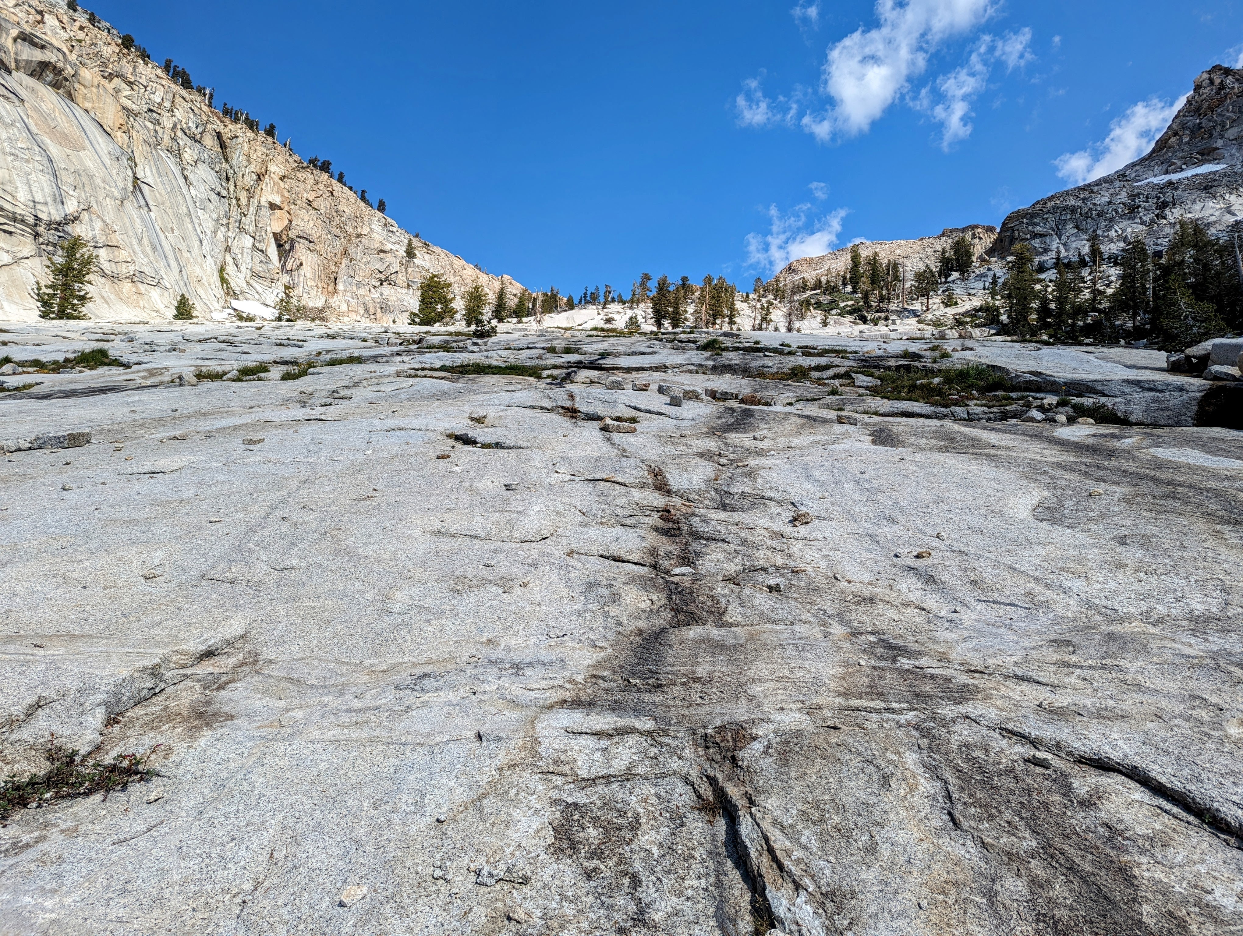
The slabs
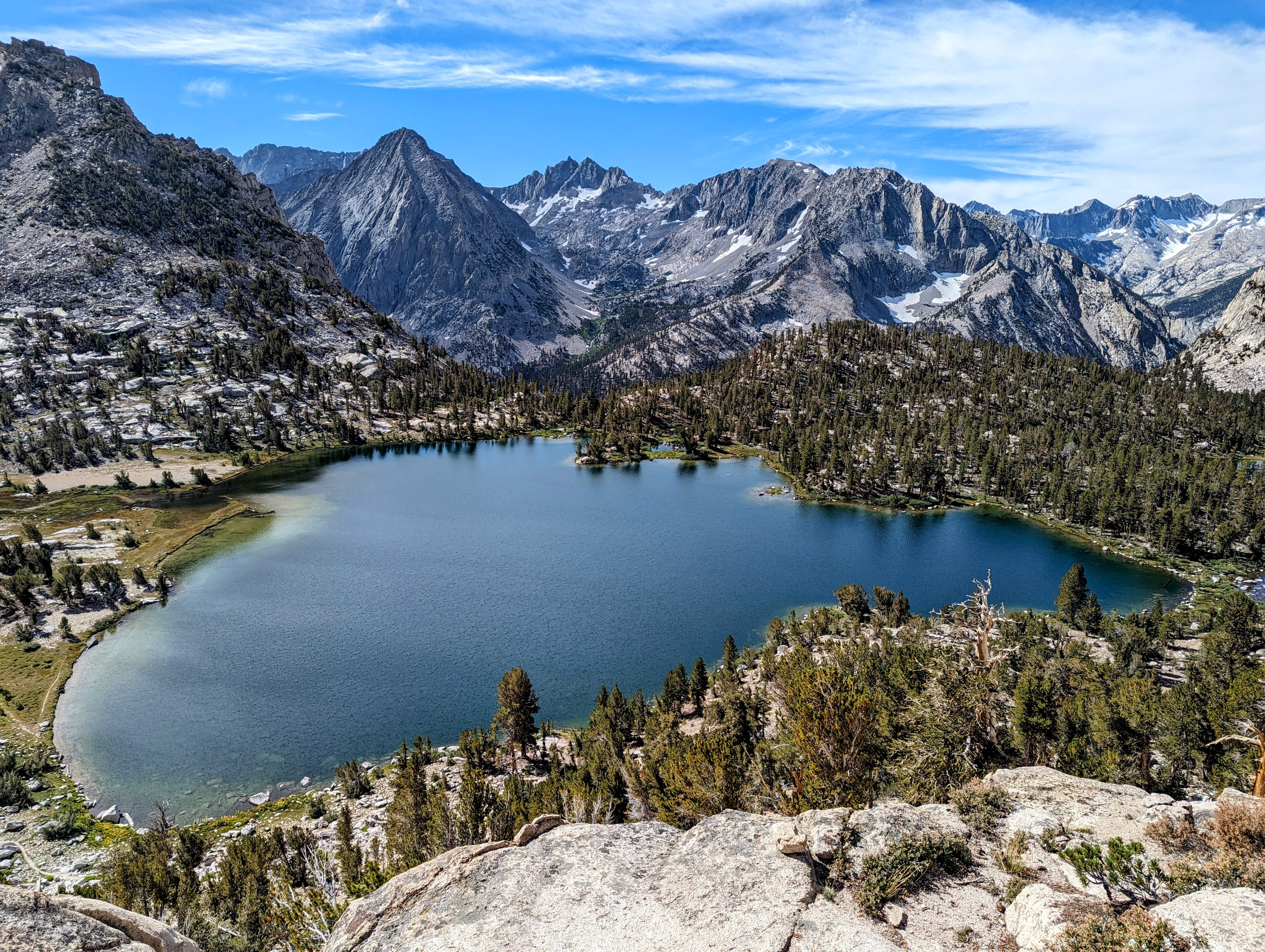
Silliman Lake
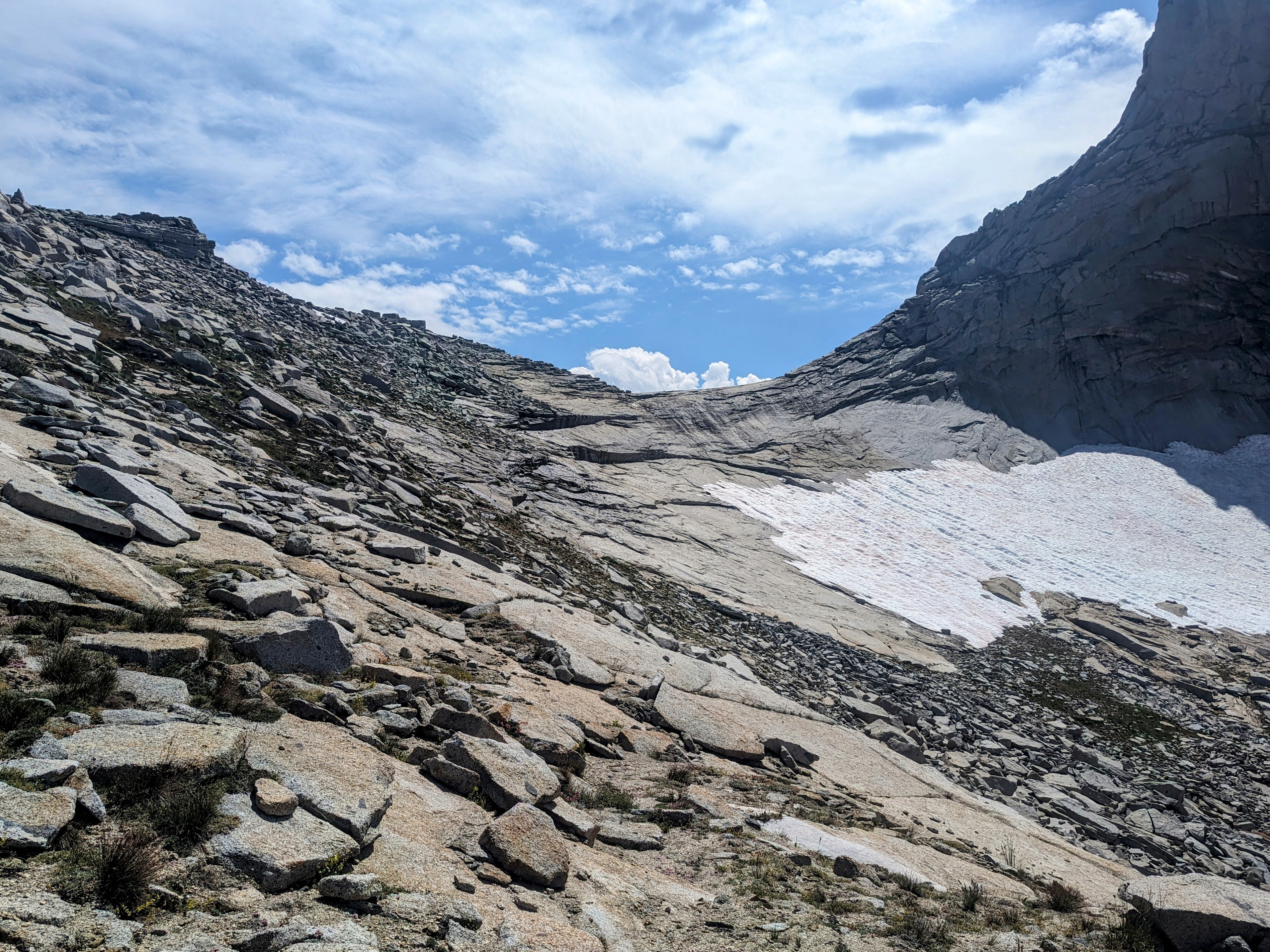
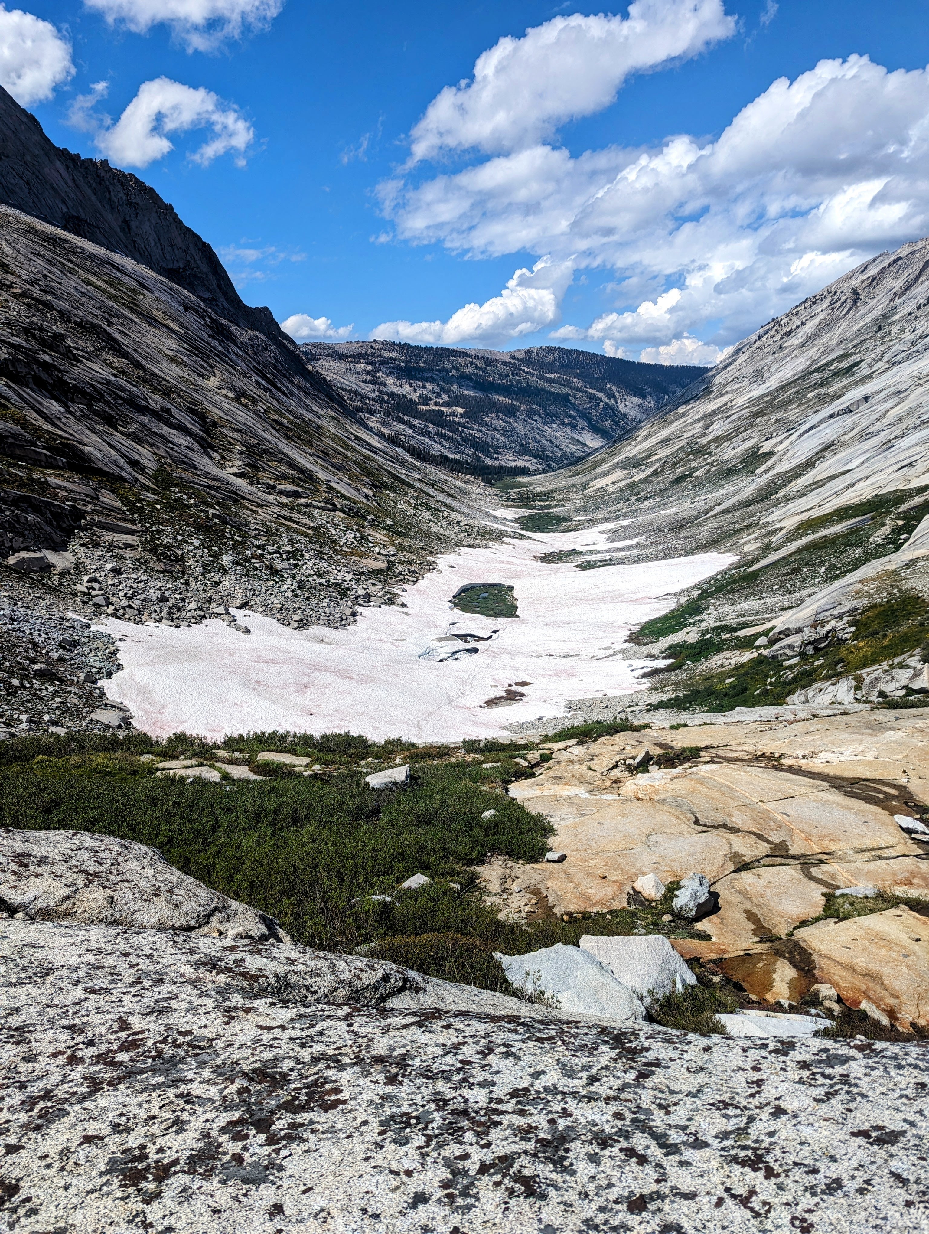
The ascent above the lake was very wet, and there was a medium-angle snow field on the approach to a dry notch to get over Silliman Shoulder.
Approach to Silliman Shoulder
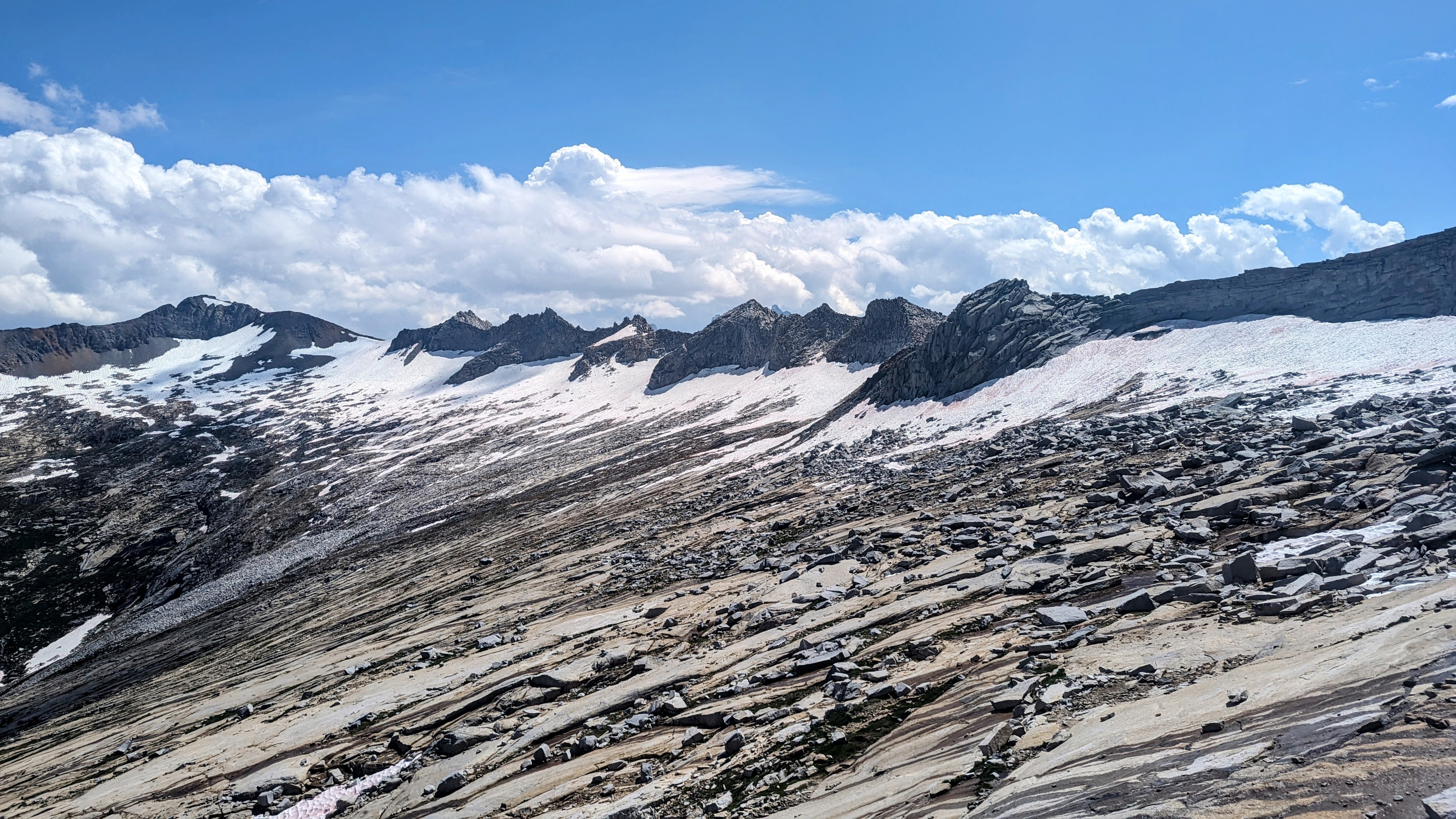
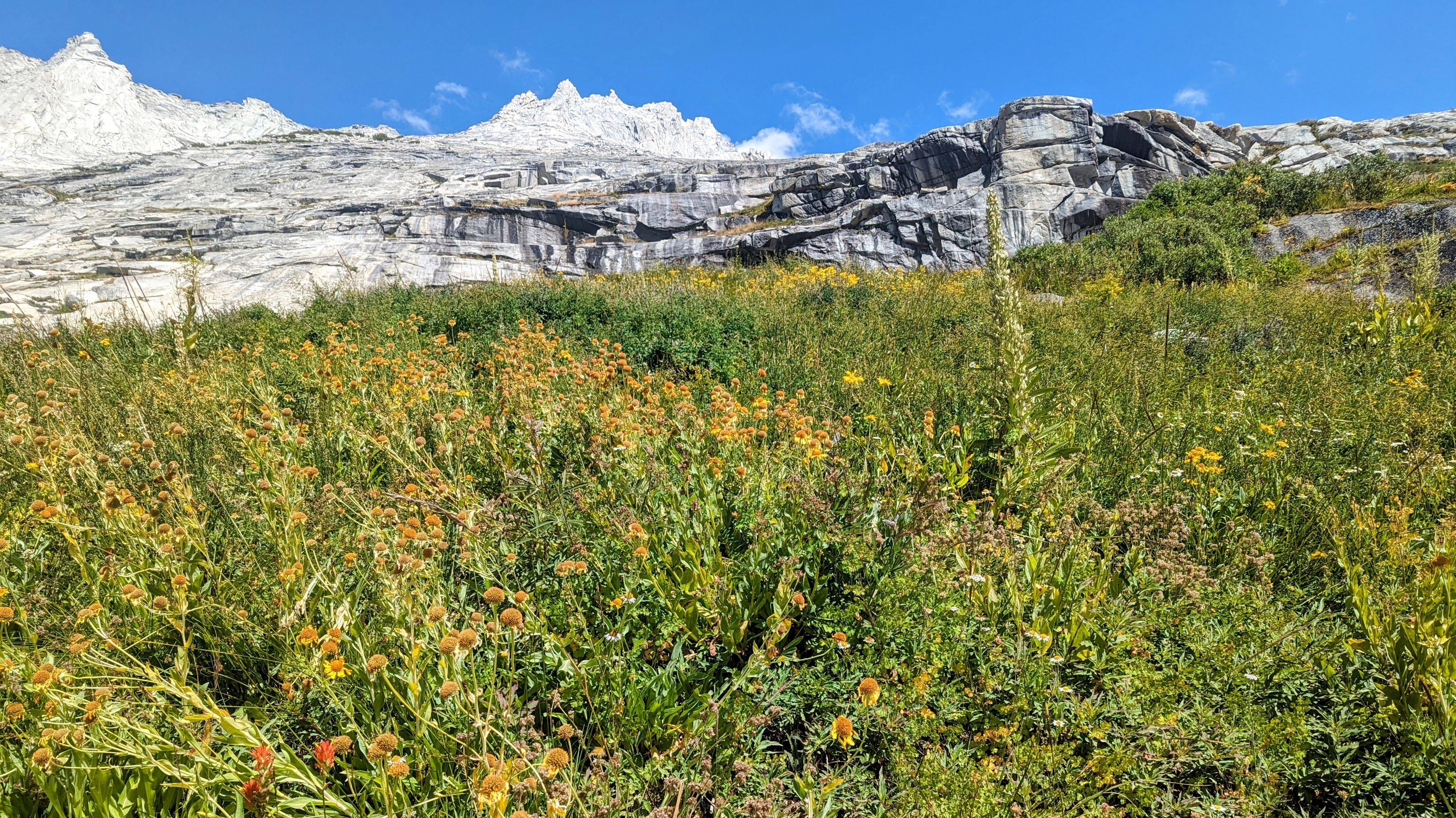
Once in the beautiful Tablelands, the travel was straightforward and I camped in a swampy mosquito apocalypse (level 4) at Lake 10410.
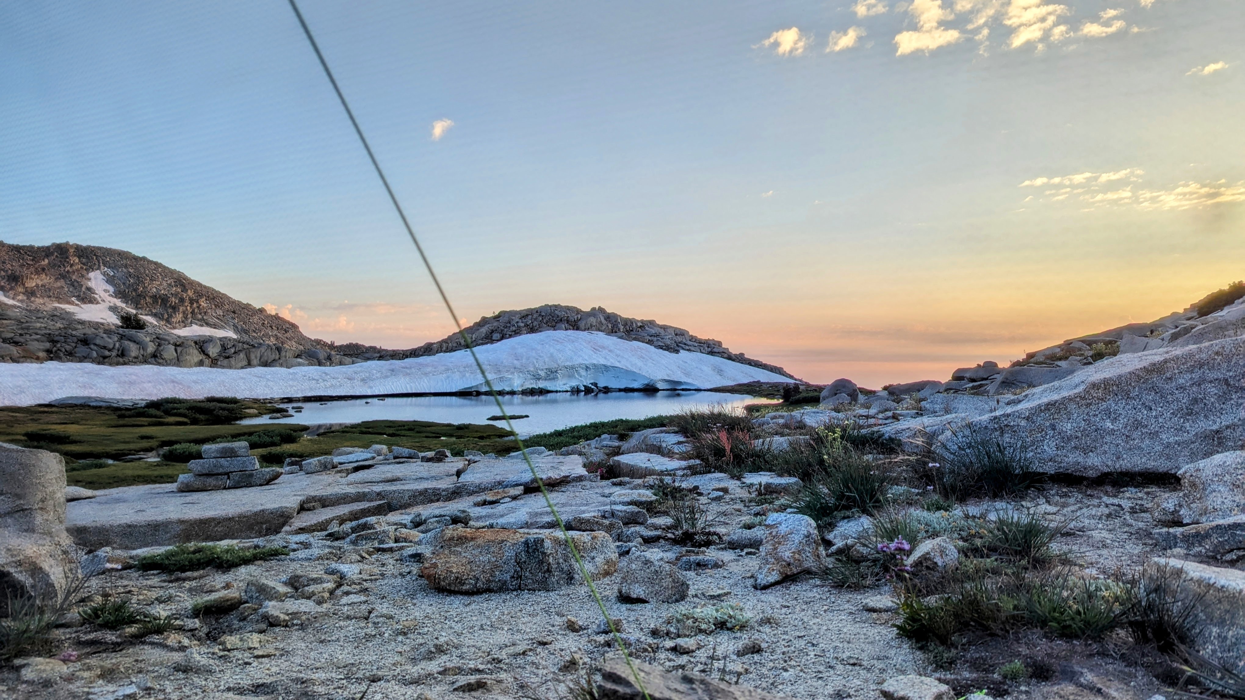
Lake 10410
That night there was a very active thunderstorm for 4 hours, which spooked me since I was so close to the divide.
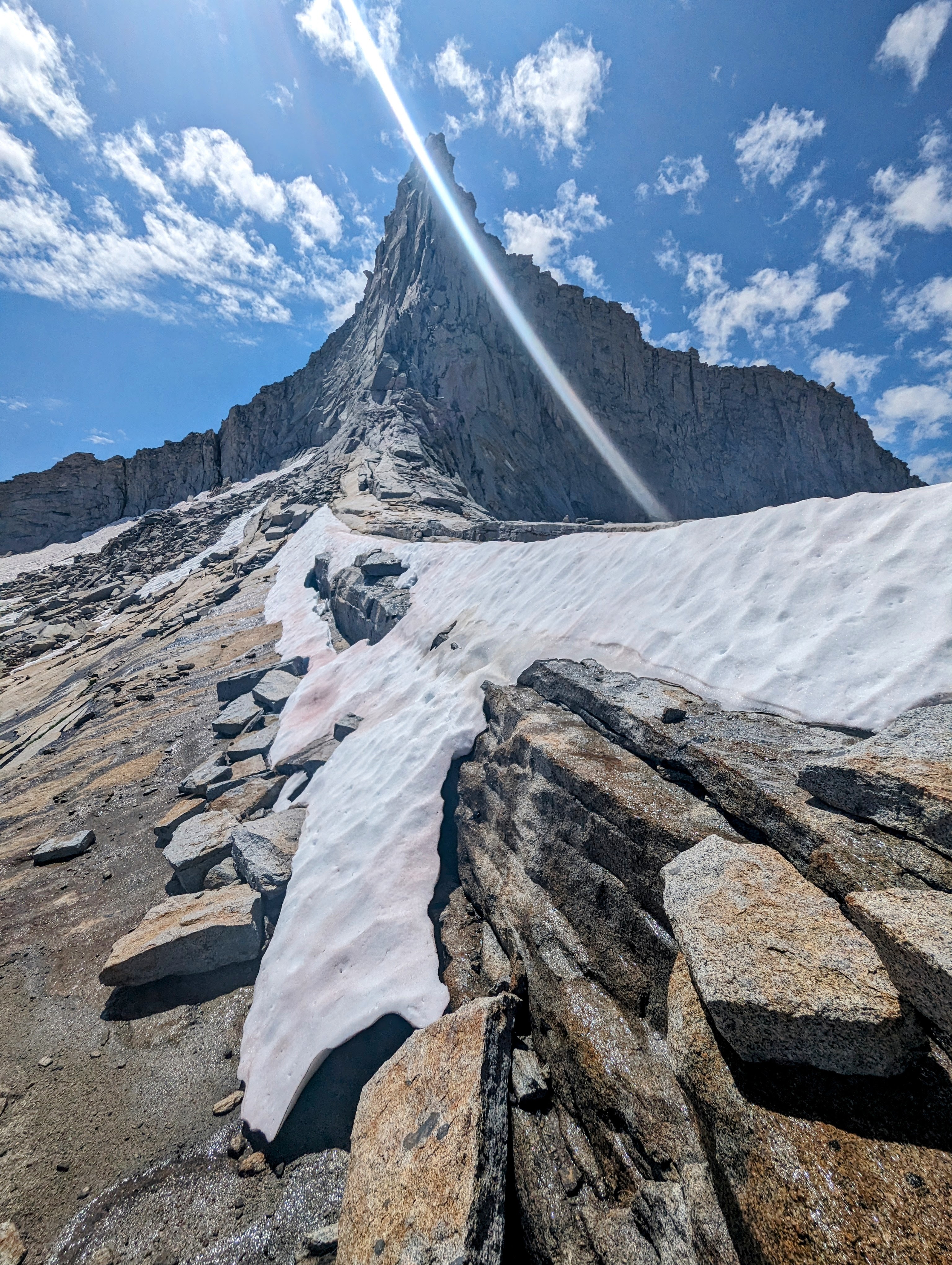
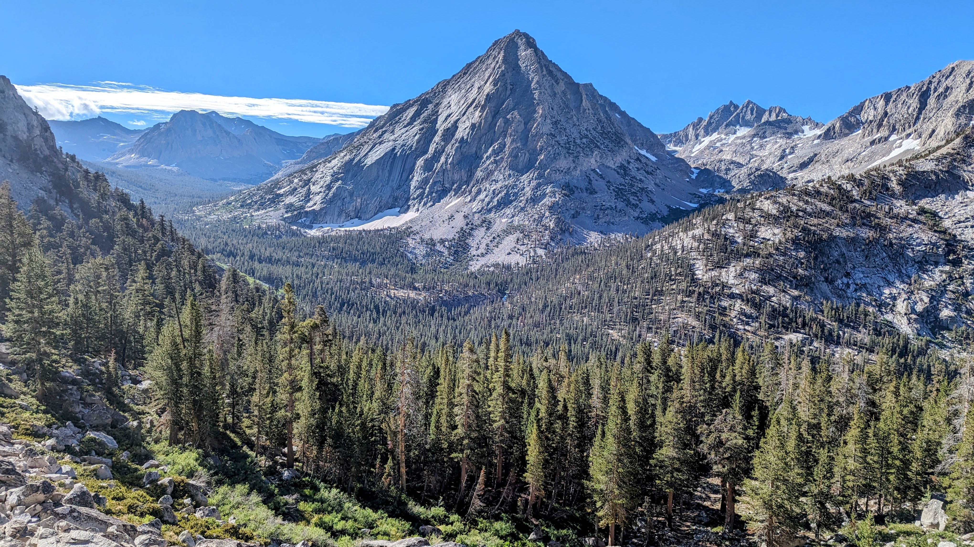
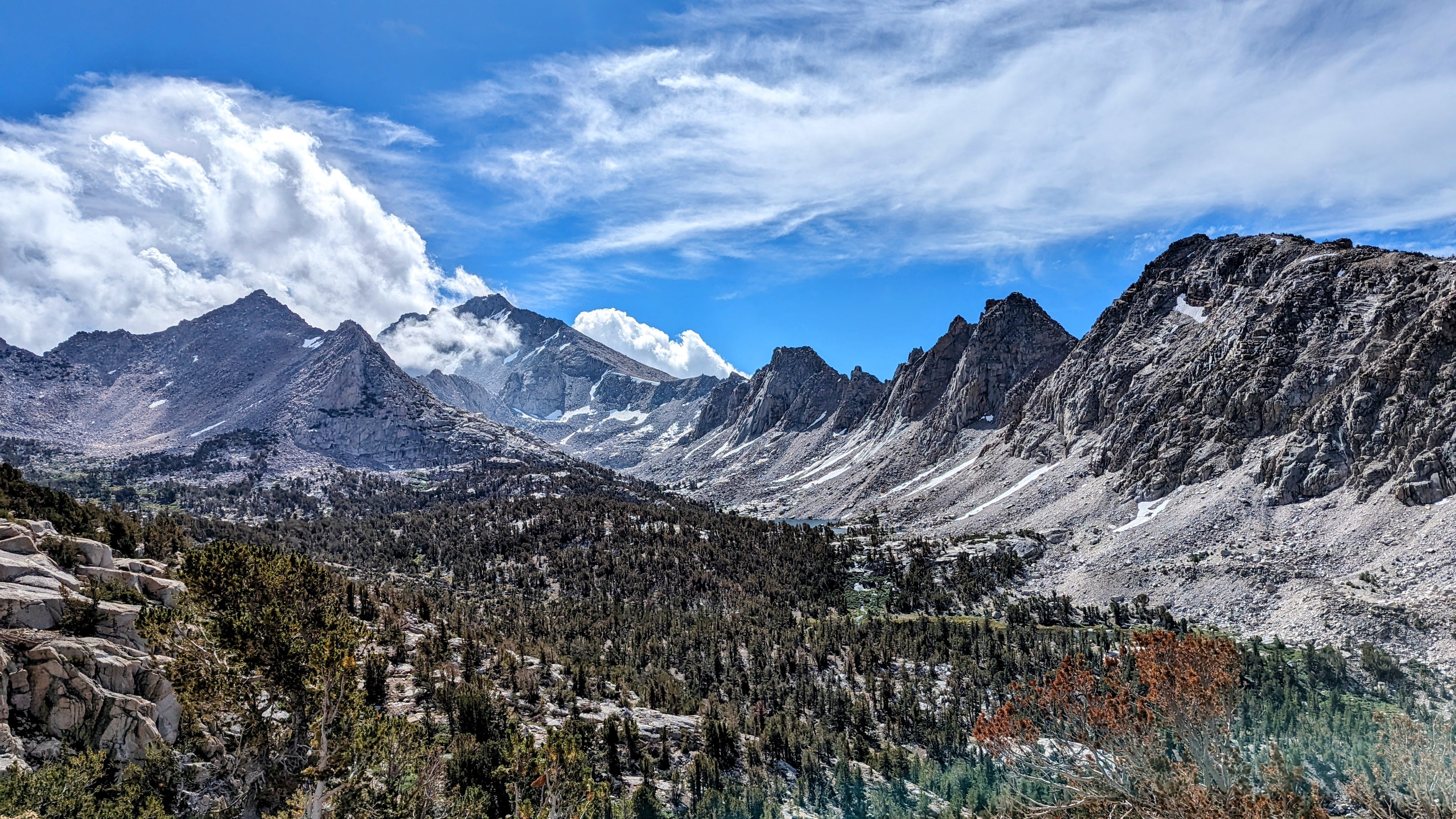
Day 2 I followed the Kings-Kaweah Divide over Pterodactyl Pass to Lonely Lake.
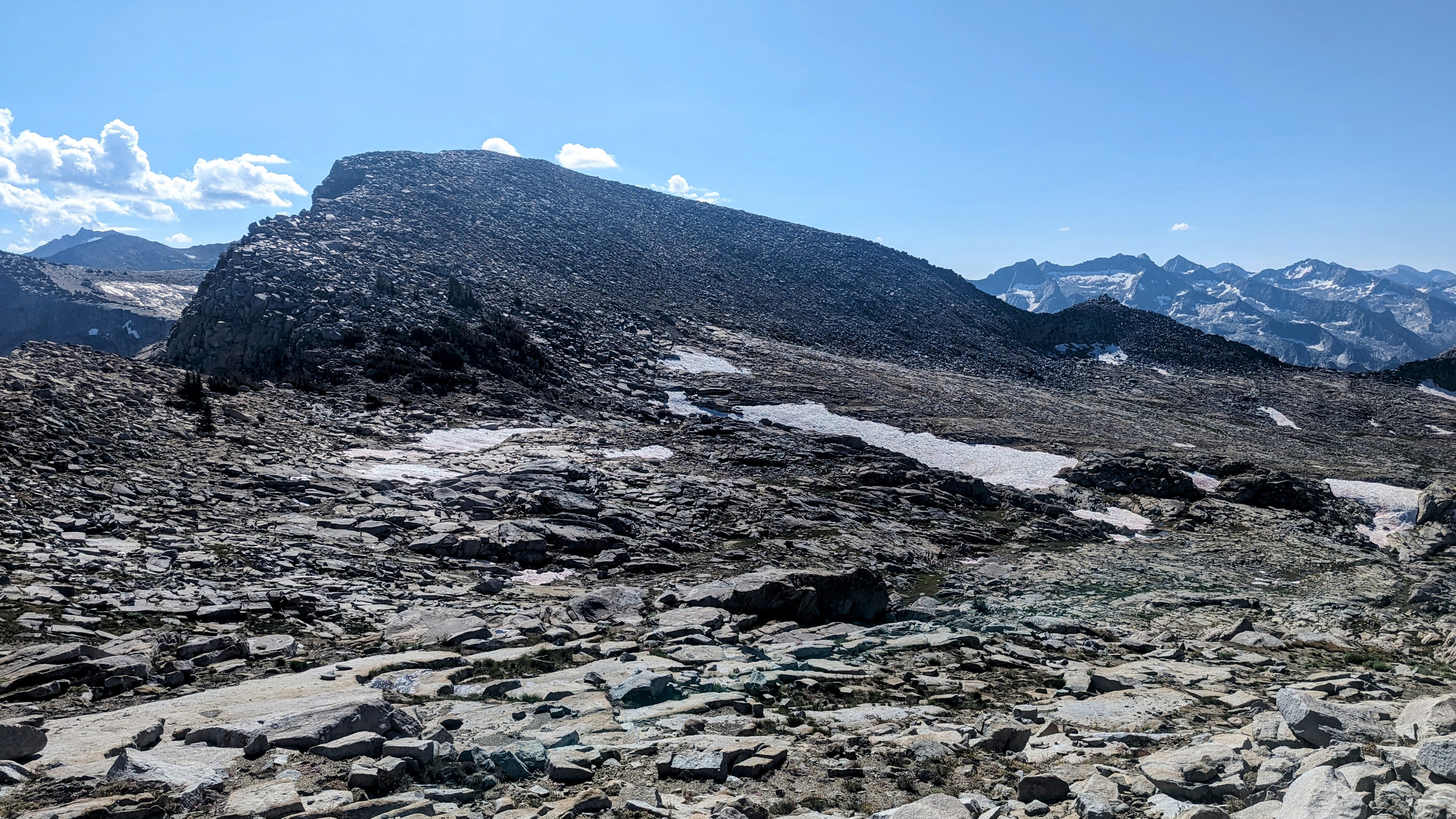
Pterodactyl Pass on far right
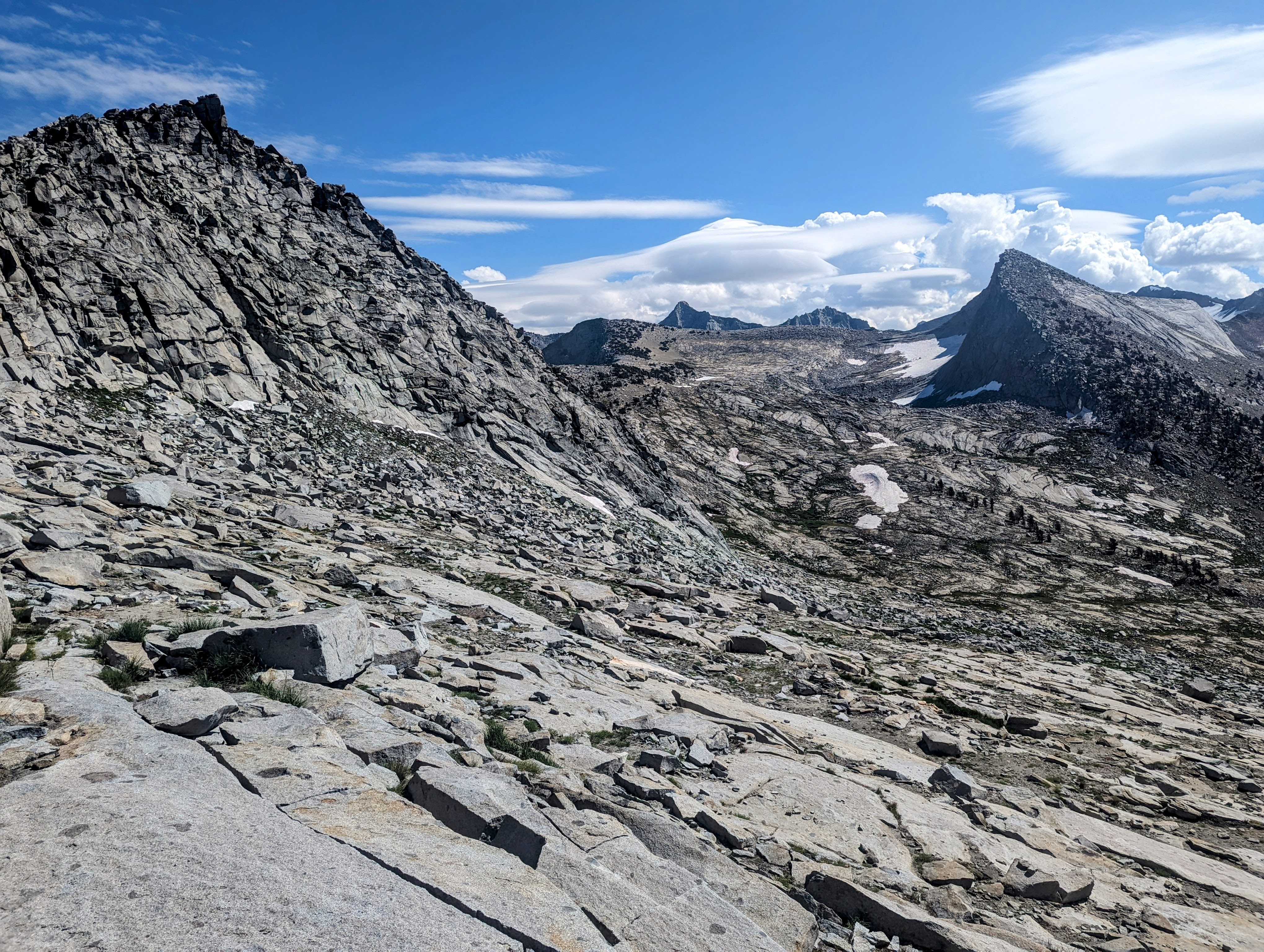
Approach to Lonely Lake
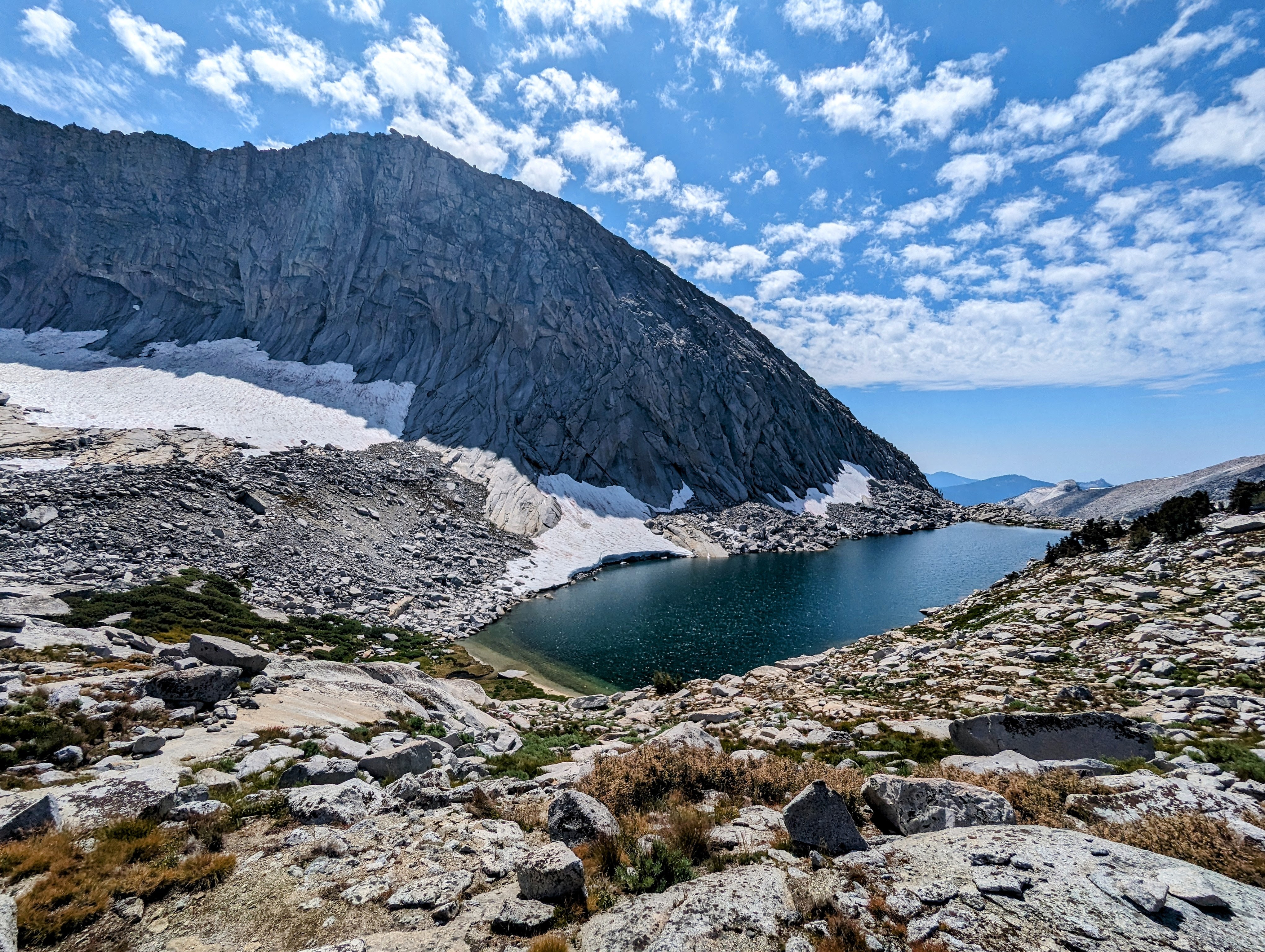
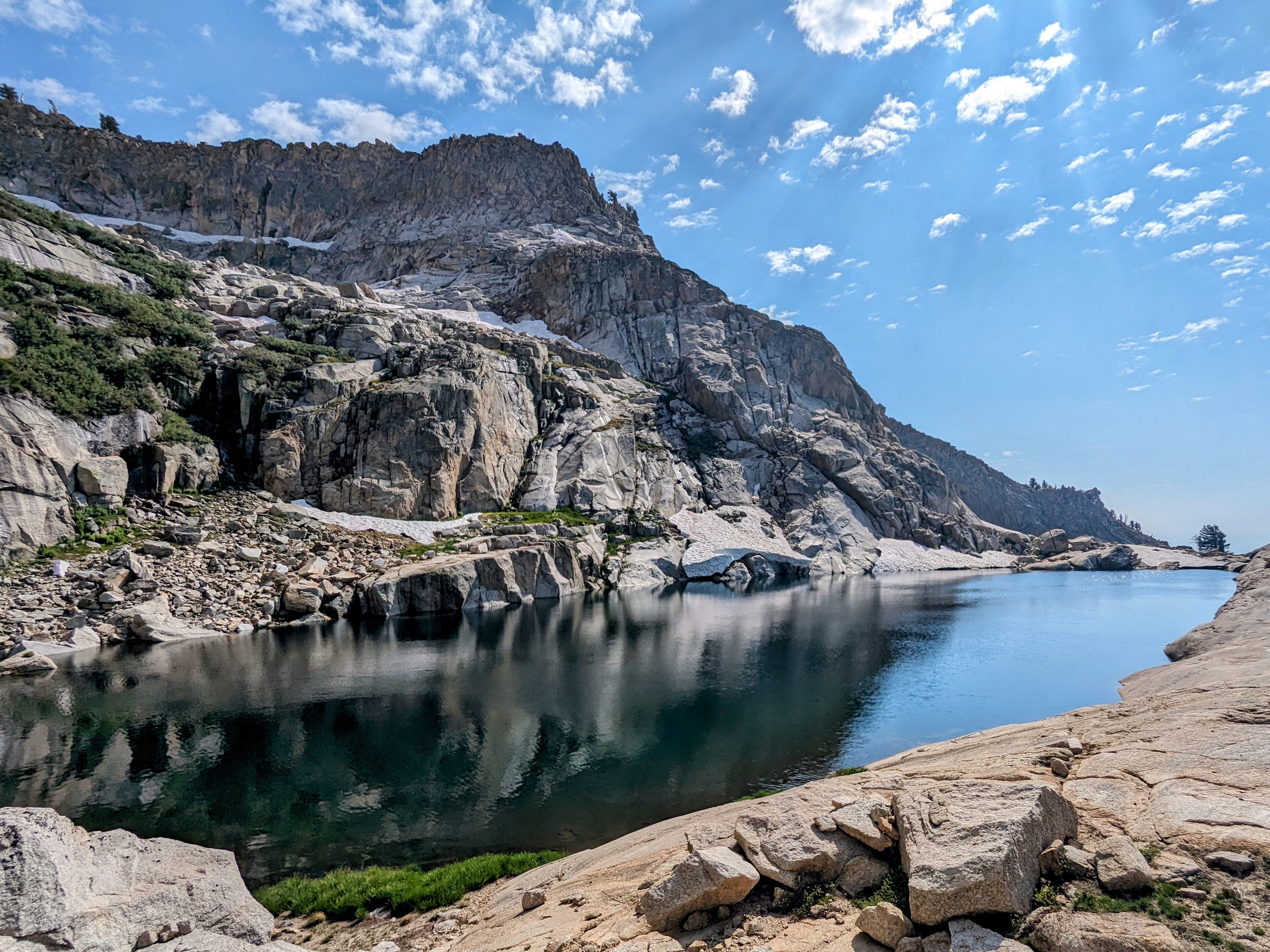
Lonely Lake
Smoke from the Redwood Grove Fire burned in the valley below.
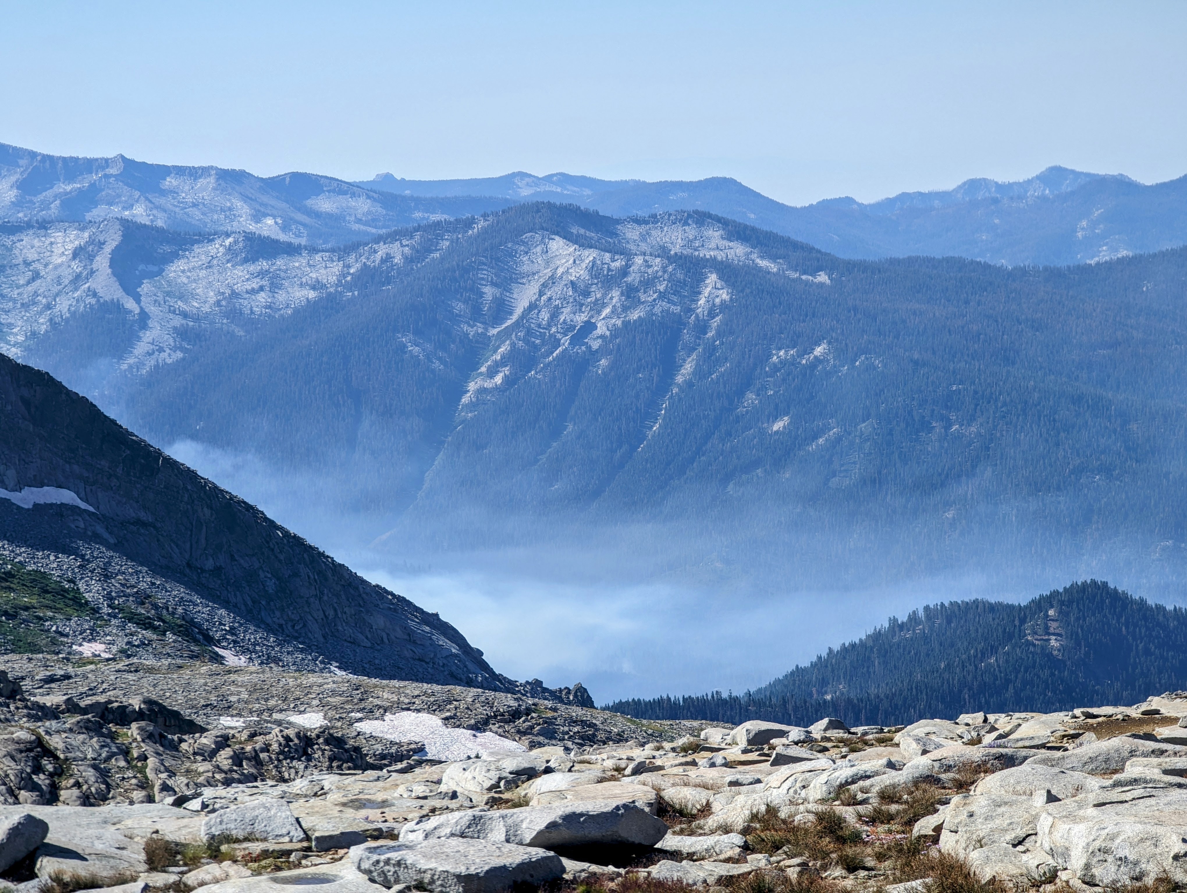
Redwood Grove Fire
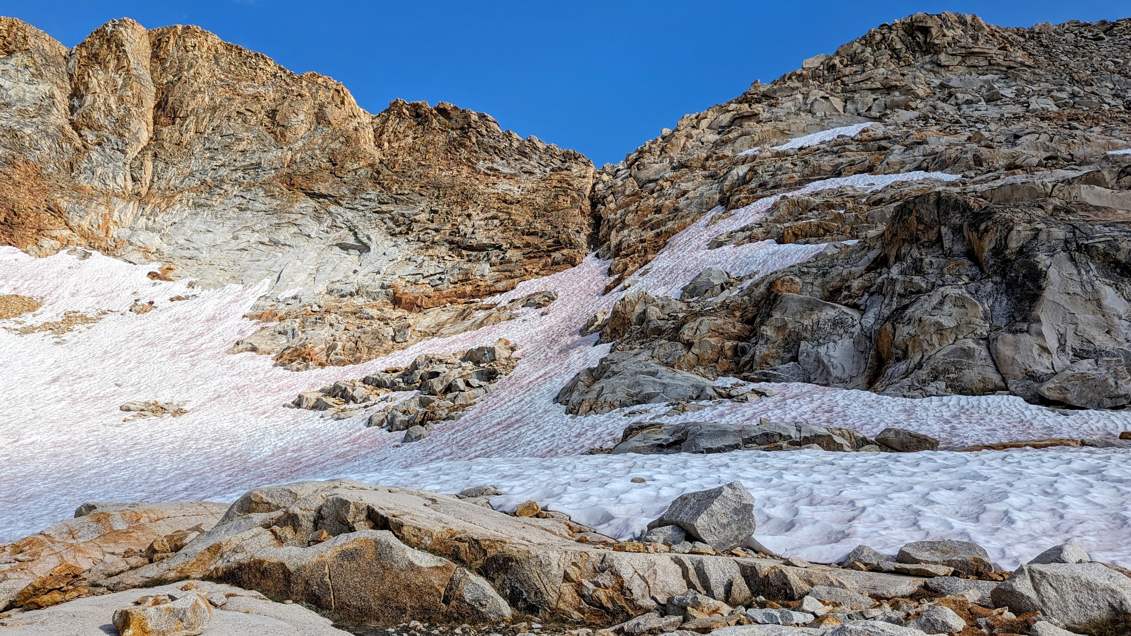
Horn Col has a cornice on it, but it was easy to get around it on the south side.
Horn Col
Small cornice on Horn Col
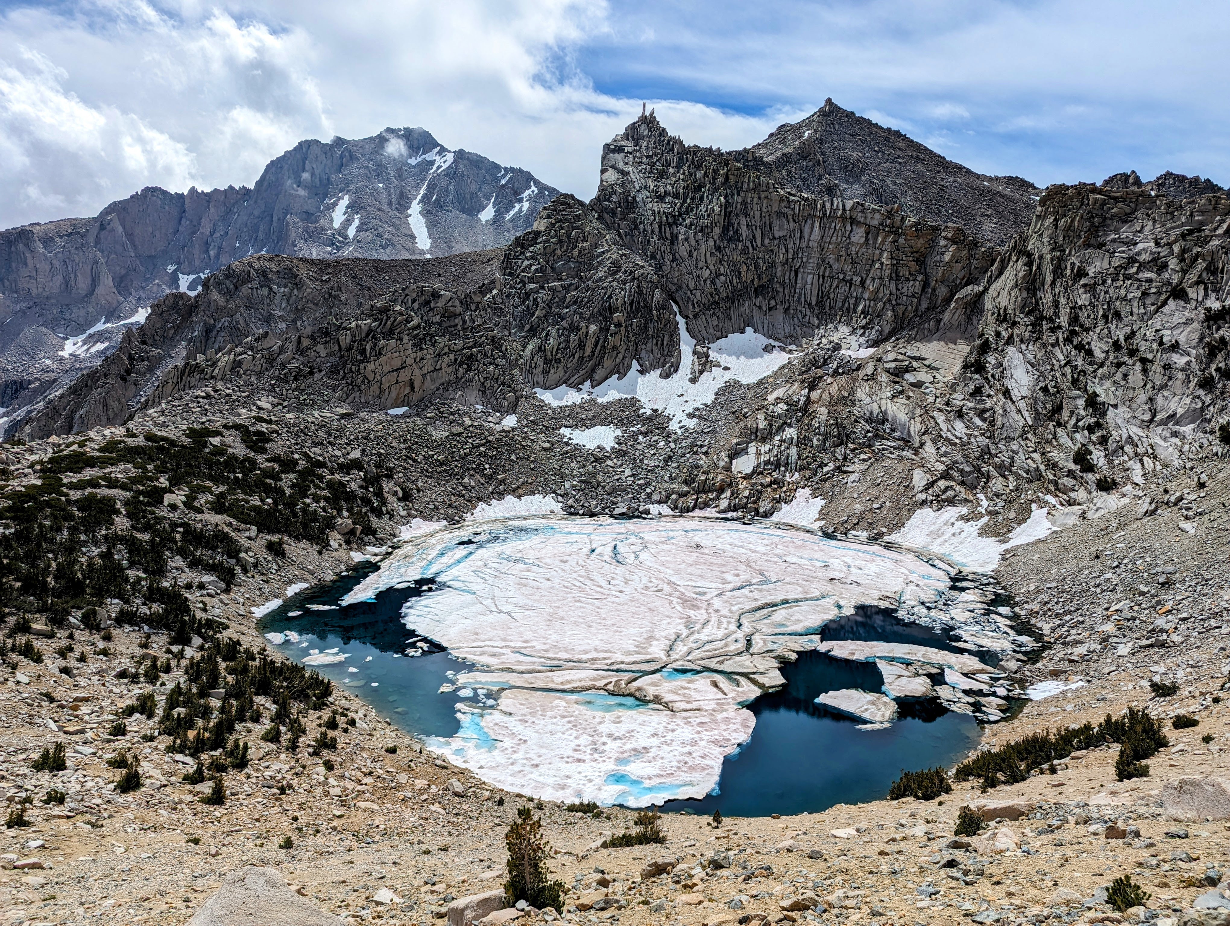
Coppermine Pass had a huge cornice on it, so I changed my route to follow the Elizabeth Pass Trail down to Roaring River Ranger Station. If I had approached the cornice I might have found a workaround, but later that day I spoke with a ranger who said the descent down into Cloud Canyon would likely have been even more difficult.
Upper Deadman Canyon, Coppermine Pass is the peak on the left, and its entry point is the cornice below it and to the right

Another shot of the Coppermine Pass cornice at upper right from the Elizabeth Pass Trail
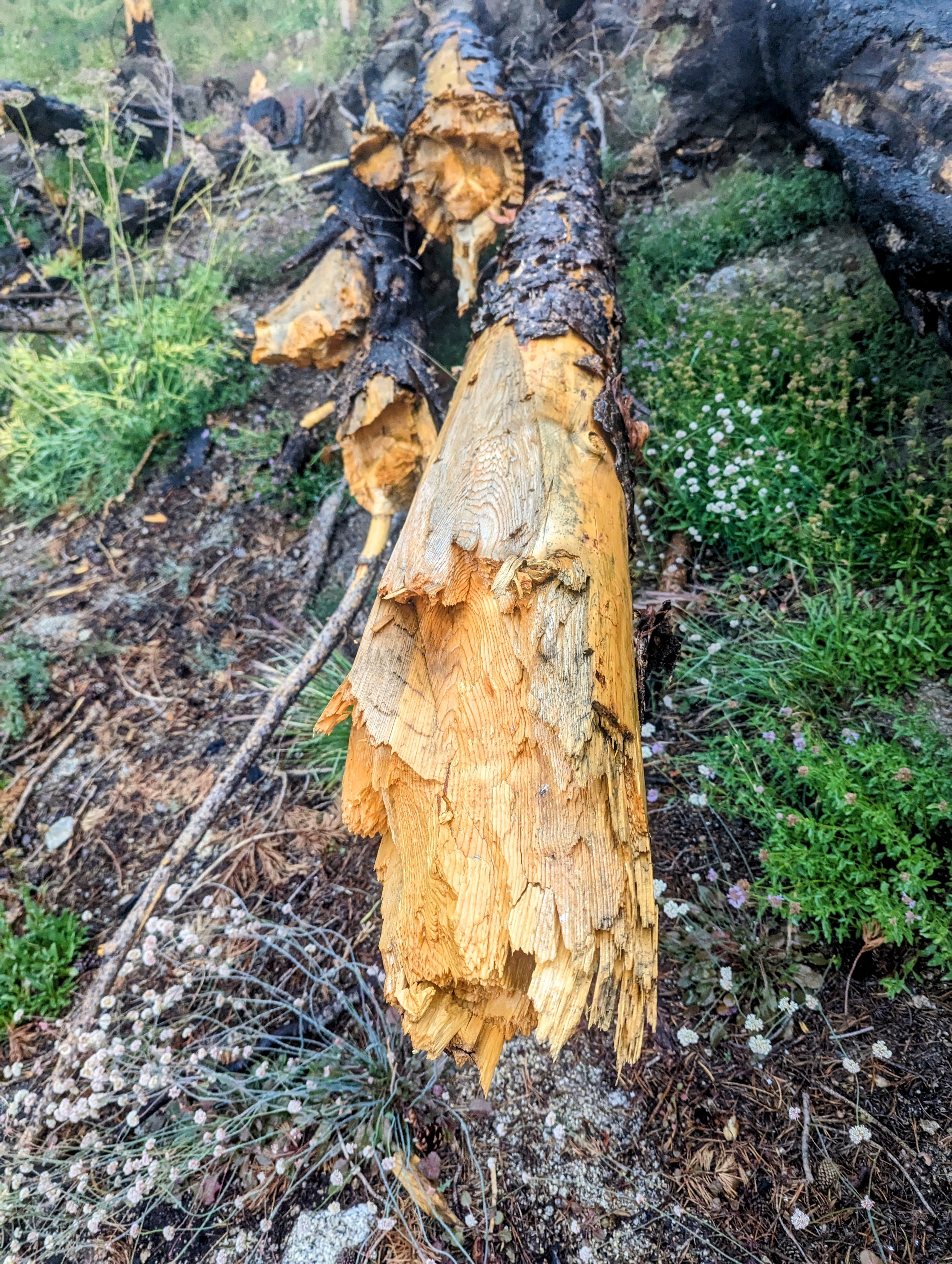
The route down the Elizabeth Pass Trail was buggy (level 3), wet, and choked with blowdowns that sometimes put me off trail for up to 20 minutes at a time.
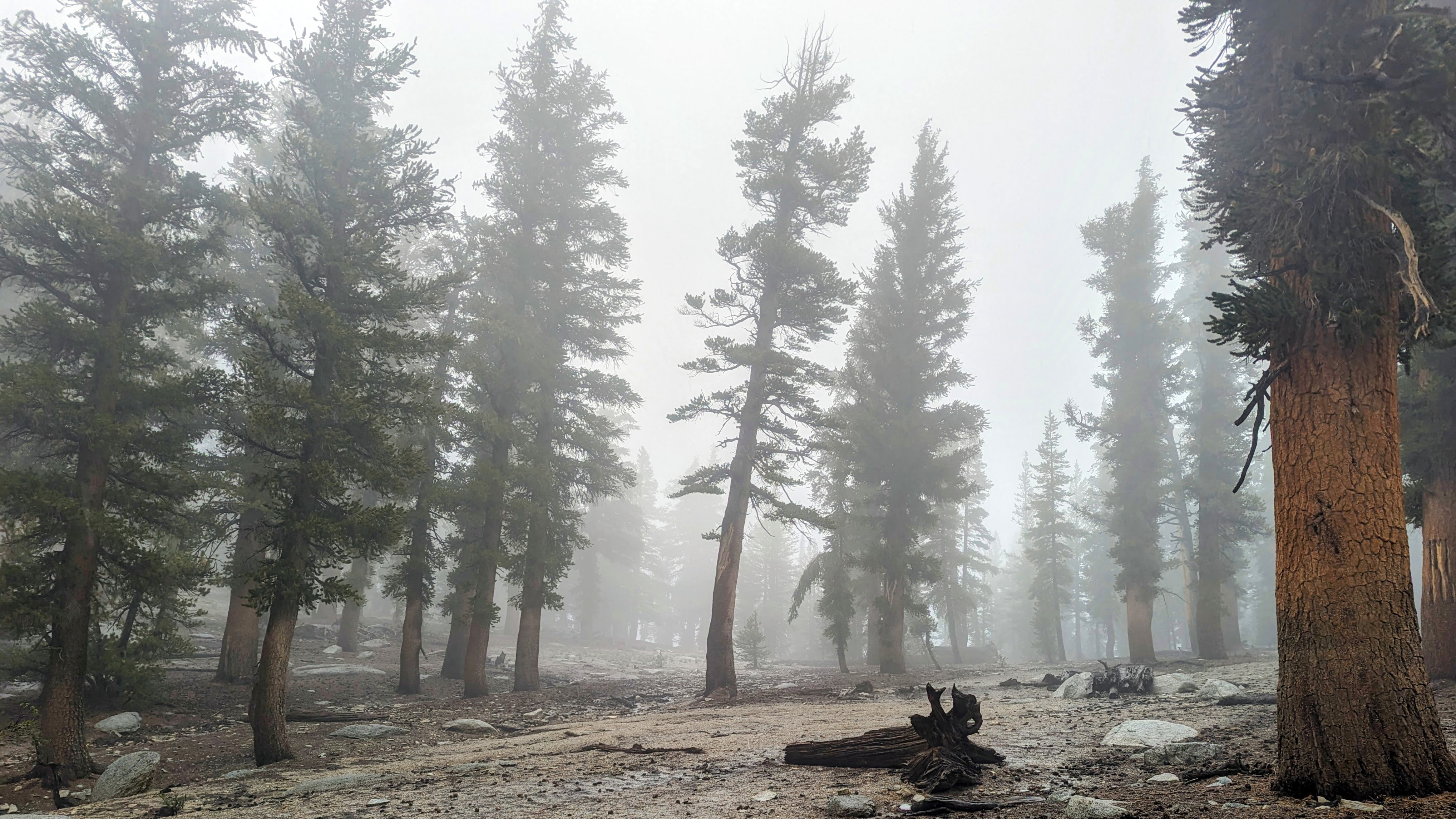
Snow fields at 9,000 feet in Deadman Canyon
Switchbacks through a vertical swamp
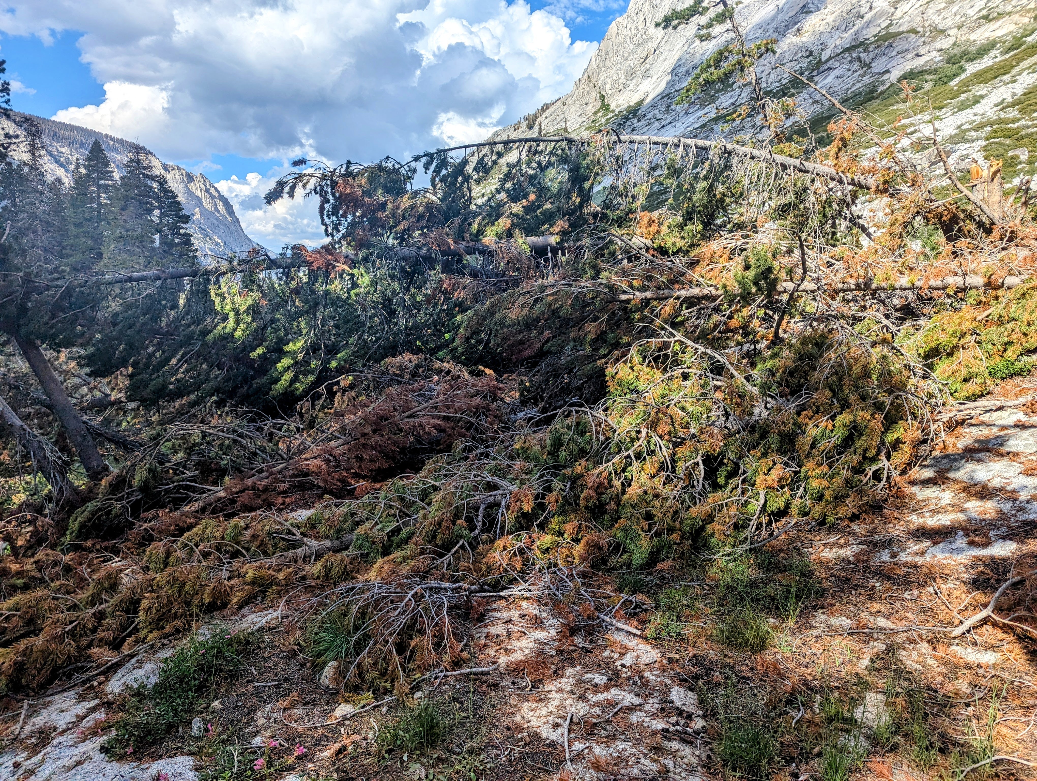
Blowdowns all the way to the Roaring RIver Ranger Station
And it rained on me again starting at Ranger Meadow, but calmed down by the time I got to the slightly-less-buggy (level 2) Roaring River.
Subtle Rainbow at Ranger Meadow
Day 3 it rained on me all morning going over Avalanche Pass, and the blowdowns continued to be a big problem, but the bugs were less severe (level 2) and I got to see a bear below the pass on the north side.
Blowdowns
Avalanche Pass
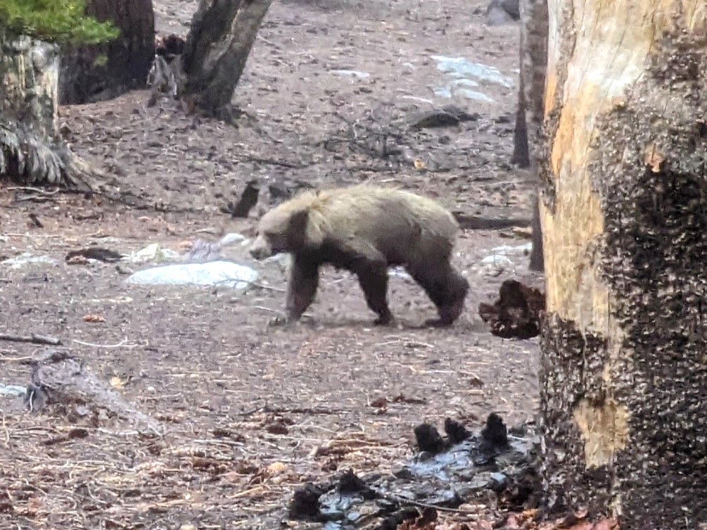
bear!
View towards Kings Canyon
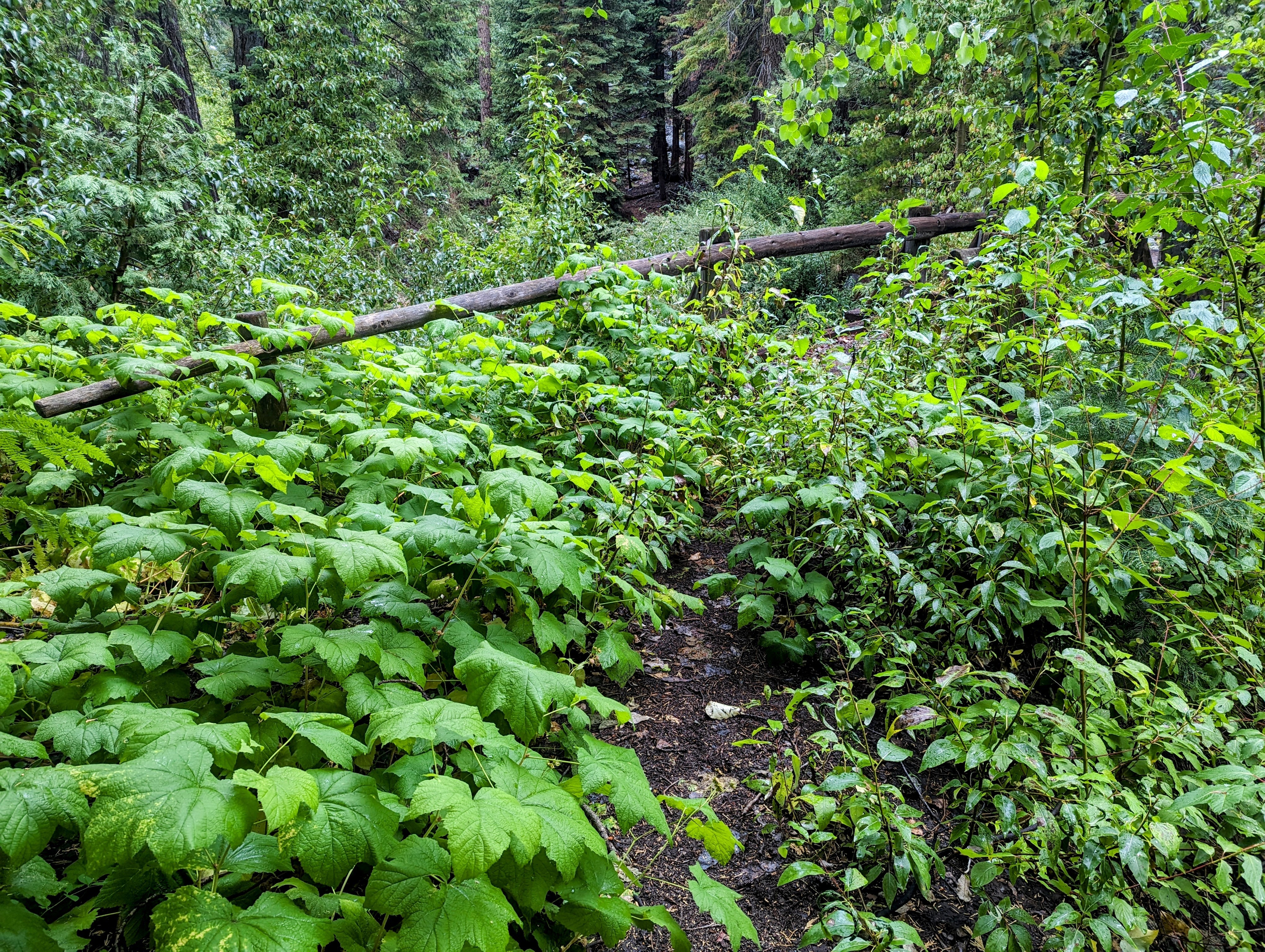
Overgrown Bubbs Creek footbridge
I expected the Bubbs Creek Trail to be busy and clear. But I was the only crazy person on it. Just me and 100 of my blowdown friends, all the way to Junction Meadow.
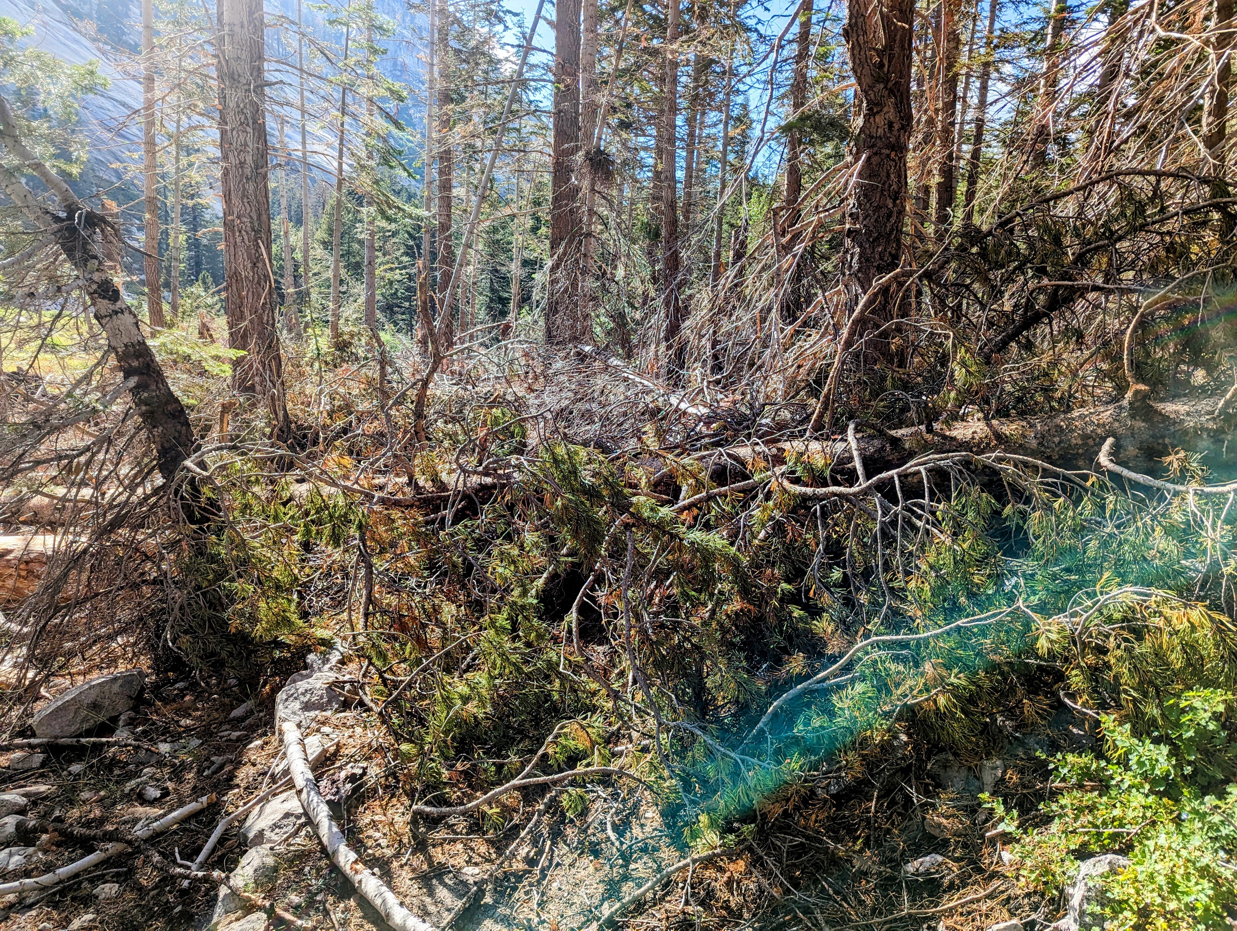
The Bubbs Creek Trail is under there somewhere
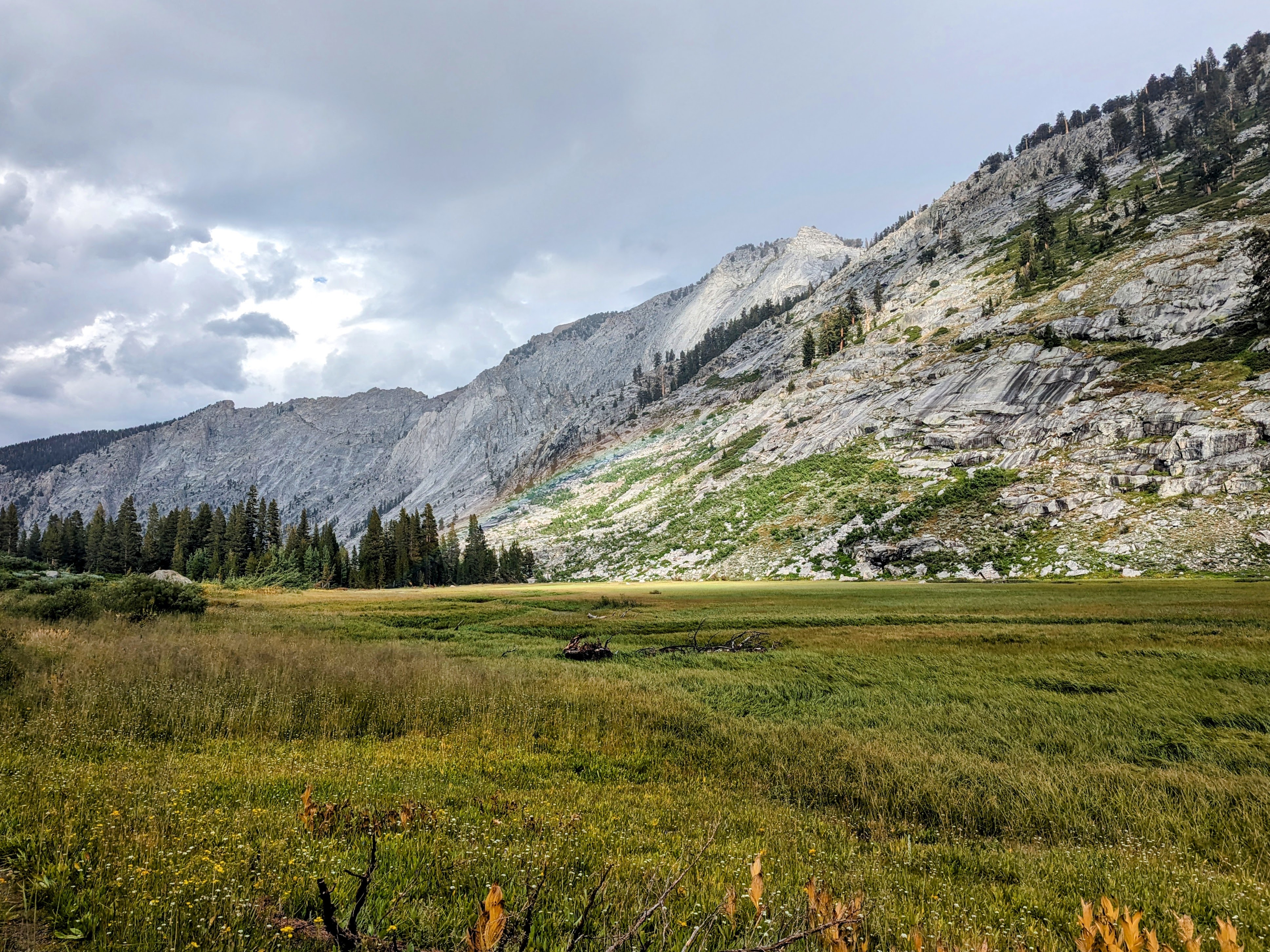
Junction Meadow
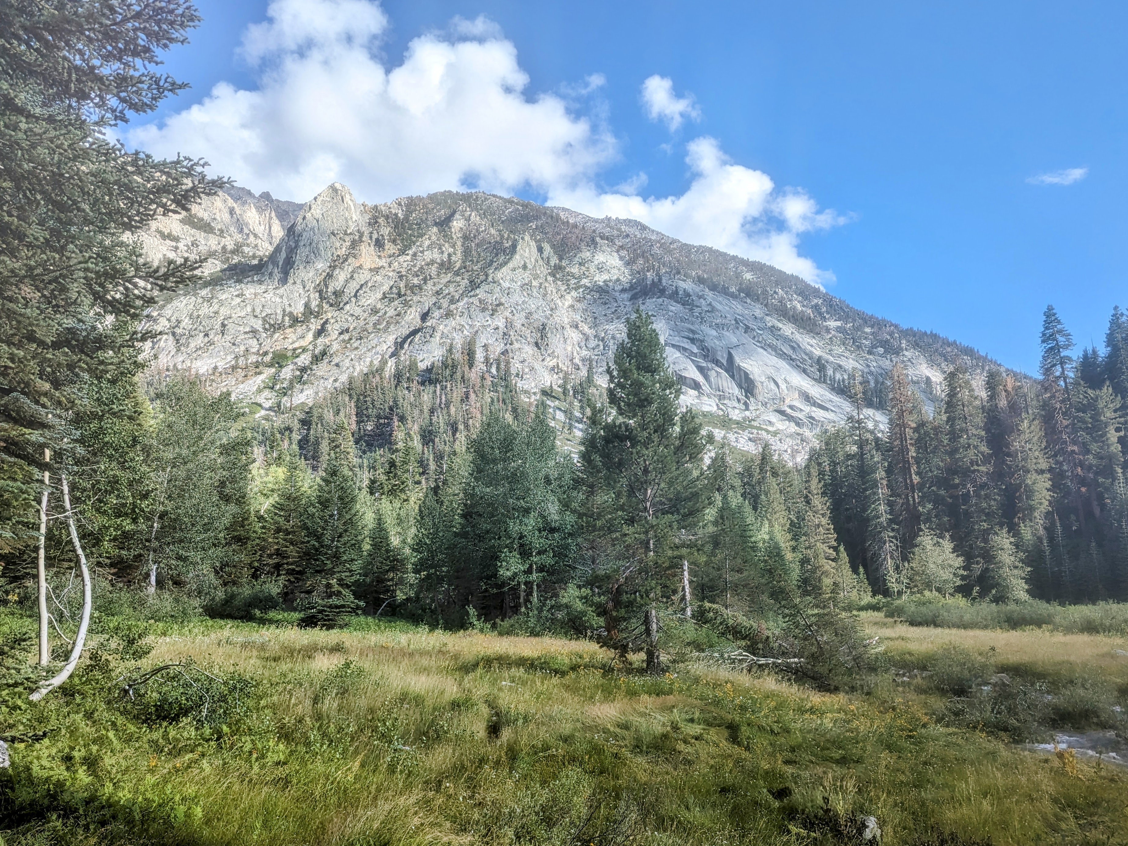
Day 4 up to the Kearsarge Pass Trail and out Onion Valley was, thankfully, rain and bug free. And I found all the hikers on the PCT/JMT. It was social and beautiful and for once it did not rain on me. An unexpectedly special morning for me, given I was expecting to be unimpressed since I have been through here so many times.
East VIdette
Bullfrog Lake
Kearsarge Pinacles
And for comparison, here are two shots of Big Pothole Lake below Kearsarge Pass. One from this trip and one from my trip in May 2021.
Big Pothole Lake, 9/11/23
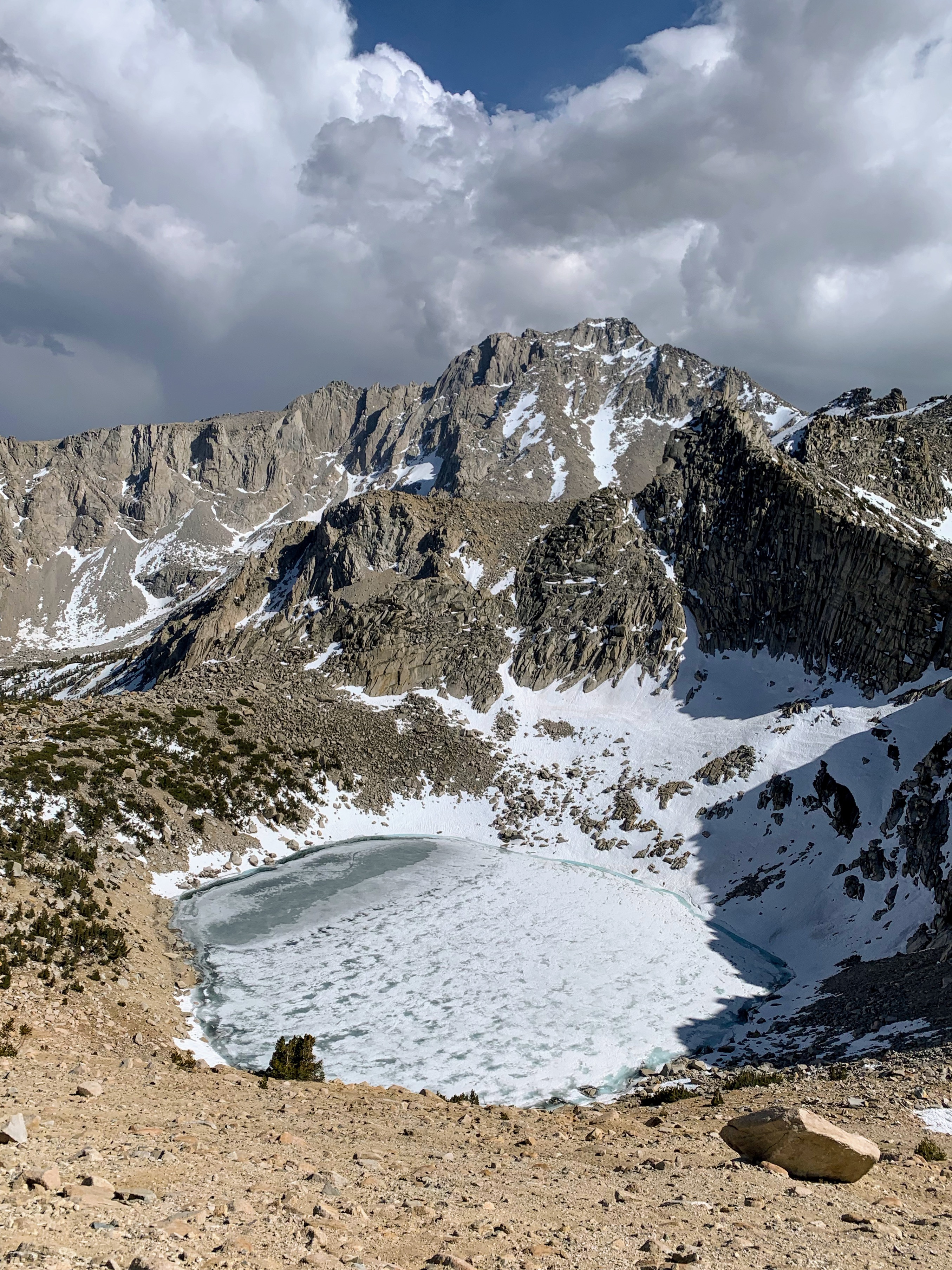
Big Pothole Lake, 5/14/21
Overall I was really happy with this trip, even if I had to end up hiking low through the mess that is September of a very high snow year.


