TITLE: North Glacier Pass
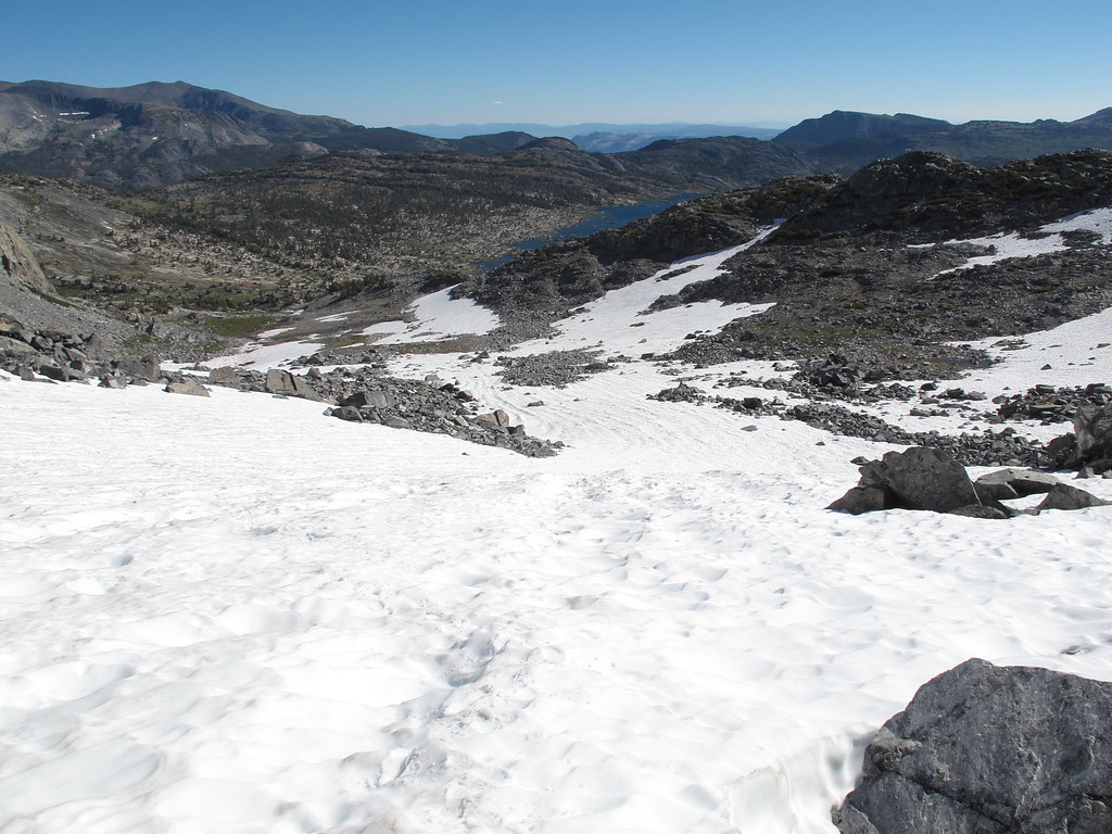
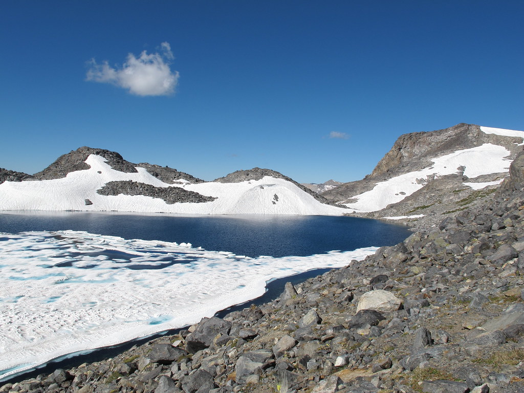
GENERAL OVERVIEW: This pass leads between 1000 Island Lake and Lake Catherine
CLASS/DIFFICULTY: Class 2
LOCATION: Inyo National Forest / Ansel Adams Wilderness. NW of Mt. Banner, directly off of Lake Catherine's North Eastern shore. HST Map
ELEVATION: 11,190
USGS TOPO MAP (7.5'): Mt. Ritter
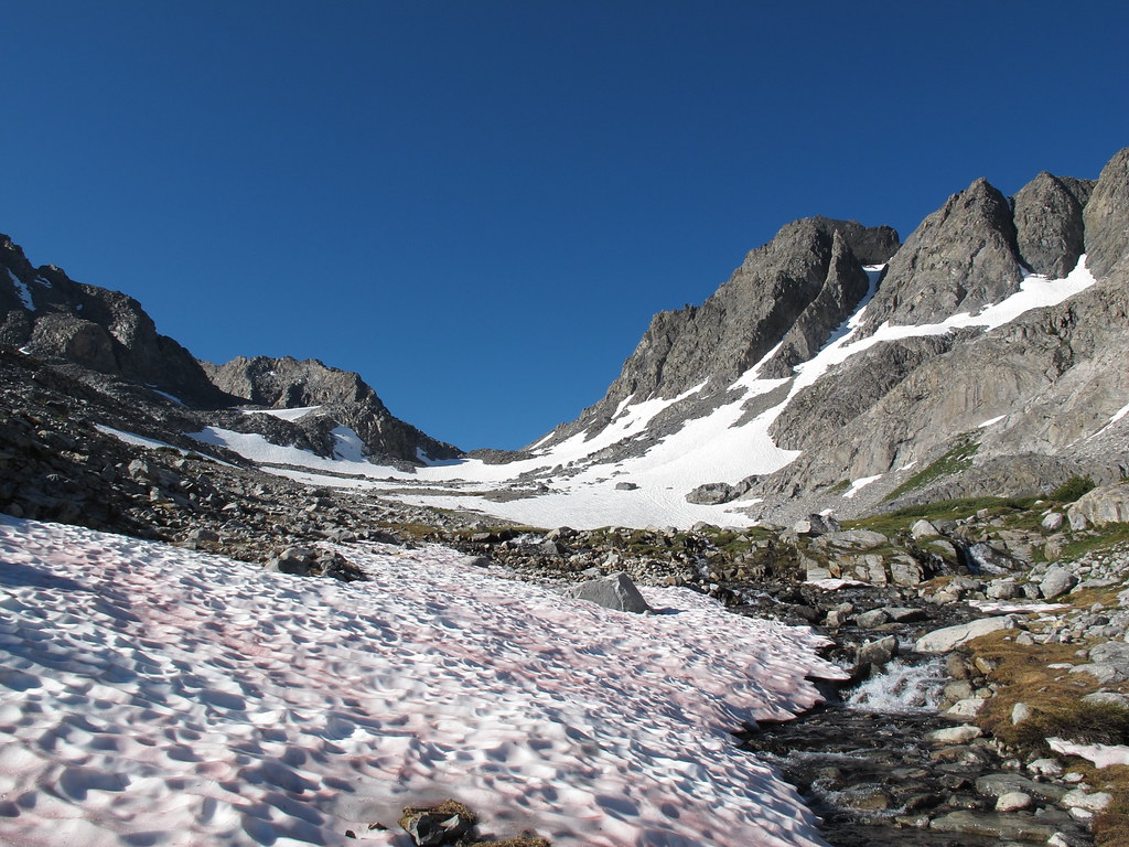
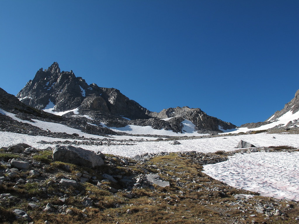
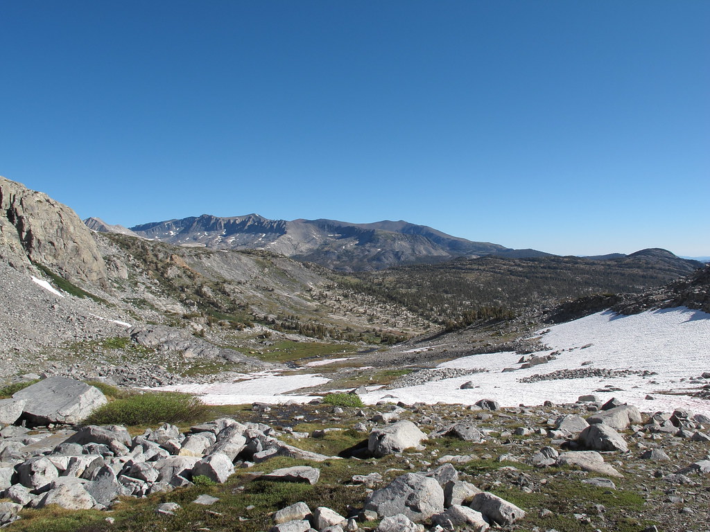
ROUTE DESCRIPTION: From the West side of 1000 Island Lake angle up a drainage coming down from the pass. Continue up this gentle valley on class 1 terrain until you are getting closer to the pass. From here take a steeper slope angling down from your right. Continue to aim for the low saddle of the area. Before you reach it you will encounter large stable talus. Lake Catherine is less then 200 feet below yet you encounter small loose talus and some hard packed dirt slopes that require caution.
North Glacier Pass
- RoguePhotonic
- Topix Fanatic
- Posts: 1693
- Joined: Thu Mar 24, 2011 9:52 am
- Experience: Level 4 Explorer
- Location: Bakersfield CA
- Contact:
- Wandering Daisy
- Topix Docent
- Posts: 6750
- Joined: Sun Jan 24, 2010 8:19 pm
- Experience: N/A
- Location: Fair Oaks CA (Sacramento area)
- Contact:
Re: North Glacier Pass
First I want to thank Rogue for putting in the effort to get all the initial information posted!
Two years ago I found a use-trail on North Glacier Pass. It is on the right side (going down), left side (going up) and hits the top off-center. It is very hard to find, but once you stumble upon it, it is quite distinct and easy to follow. It avoids most of the talus on the upper part. Since it was covered by snowfields lower down I am not sure how distinct it remains as you drop. You eventually have to switch back over to the north side of the creek lower down as the south side turns into talus.
- tomba
- Topix Regular
- Posts: 375
- Joined: Sat Jun 18, 2011 12:50 pm
- Experience: Level 4 Explorer
- Location: Bay Area
Re: North Glacier Pass
I approached Lake Catherine from a shallow saddle WNW from the lake. I came up along the creek beyond that saddle, above east bank of that creek, after I left Sierra High Route at the confluence of that creek and the creek from Lk. Catherine and Ritter Lks. There were no difficult or dangerous sections on that route. The hardest part perhaps was the snow at the top of that saddle. This was on 2011-09-23, a high snow year.
Snow on the saddle WNW from Lk. Catherine, looking south. View of SW side of North Glacier Pass from the saddle WNW from Lk. Catherine. The pass is on the left. View of SW side of North Glacier Pass from from close to Lk. Catherine. The pass is on the left. View of NE side of North Glacier Pass.
You do not have the required permissions to view the files attached to this post.
-- Found trash? Please pack it out. Thank you.
- erutan
- Topix Expert
- Posts: 492
- Joined: Tue Aug 25, 2015 4:46 pm
- Experience: Level 4 Explorer
Re: North Glacier Pass
A few notes on this.
I was really focused on what was west of this pass, and didn't read Wandering Daisy's comment. We stayed on the ridge E of where people normally come up for some views of 1000i then found a natural place to ease into it where it broadens out into a meadow. We found the use trail and kept to it - it petered out and I followed some cairns (hah) into talus then started knocking any cairns over as it was pretty clearly CYOA. Fairly deep into the field I saw the mixed light talus and grassy ramps that'd let you bypass at least half of the talus, but it wasn't worth cutting over at that point. Checking later, the route on OSM based maps lead you into the talus so don't pay attention to it.
The west side was more straightforward than I was expecting - I'll assume you have Roper's HSR book or can figure stuff out. The class 3 bypass of the falls is very straightforward - it's where you'd expect on the map and visually (we scoped it out from a little detour to the ritter lakes) and has multiple entry, exit, and ways down. You can bypass and keep it class 2 (or mostly class 2) by a winding traverse across slabby terrain to a large grassy ramp that drops from the ridge to the NW (this will drop you near the end of ropers corridor and near the gully you descend).
The traverse across to twin island lake at the end was much more obvious than I expected... from the loose chute it's clear you want to drop below the giant fin popping out of the hillside. There's now a fairly solid use trail that takes you to that point, and once you're there it's basically just going up a few grassy ramps with a slab traverse or two up to a giant grassy bench that leads you to twin island lake. I personally wouldn't call it labyrinthine and if you have good routefinding it won't be an issue.
You do not have the required permissions to view the files attached to this post.
admin @ Sierra Nevada Current Conditions group.
- frozenintime
- Topix Regular
- Posts: 301
- Joined: Tue Aug 18, 2015 8:06 pm
- Experience: N/A
Re: North Glacier Pass
we went the opposite way from twin island to 1k island within a day or two of you, erutan. the use trail skirting the top of the unnamed canyon (stevenson canyon?) was so strong it could be on maps.
however, we certainly did not find a use trail around catherine or down to 1k island lake, and the game of talus seemed never ending (followed by the wildest storm i’ve experienced in the sierra).
while the talus on the north side of the pass was fairly stable on our route down, we found it pretty exhausting. this is also a vanishingly low snow year, so perhaps the snow fields in bigger years is somewhat less taxing.
so, keeping it on topic: the glacier pass “trail” on OSM doesn’t seem to go anywhere helpful. if you can find a use trail via WD’s advice or your own wits, it’s highly recommended.
- erutan
- Topix Expert
- Posts: 492
- Joined: Tue Aug 25, 2015 4:46 pm
- Experience: Level 4 Explorer
Re: North Glacier Pass
Yeah it's stable and sort of visually interesting... but went on for far too long. I've taken a stab at what I think the talus bypass route should be below (even if you can't find the use trail it's worth aiming for IMO).
You do not have the required permissions to view the files attached to this post.
admin @ Sierra Nevada Current Conditions group.
Who is online
Users browsing this forum: Sabbat, sierrahikingtree and 2 guests